South Pacific - April/May 2010
MS Volendam - Holland America Lines
Itinerary
17-18 April, 2010
SYDNEY, AUSTRALIA
19-20 April, 2010
AT SEA
21 April, 2010
NOUMÉA, NOUVELLE CALÉDONIE
22 April, 2010
ÎLE DES PINS, NOUVELLE CALÉDONIE
23 April, 2010
PORT VILA, VANUATU
24 April, 2010
AT SEA
25 April, 2010
LAUTOKA, FIJI
26 April 26, 2010
CROSS THE INTERNATIONAL DATELINE
26 April, 2010
SUVA, FIJI
27 April, 2010
APIA, SAMOA
28 April-2 May, 2010
AT SEA
30 April, 2010
CROSS THE EQUATOR
3 May, 2010
HONOLULU. OAHU, HAWAII
4 May, 2010
NAWILIWILI KAUAI, HAWAII
5 May, 2010
LAHAINA, MAUI, HAWAII
6 May, 2010
HILO, HAWAII, HAWAII
7-11 May, 2010
AT SEA
12 May, 2010
VANCOUVER, BRITISH COLUMBIA, CANADA
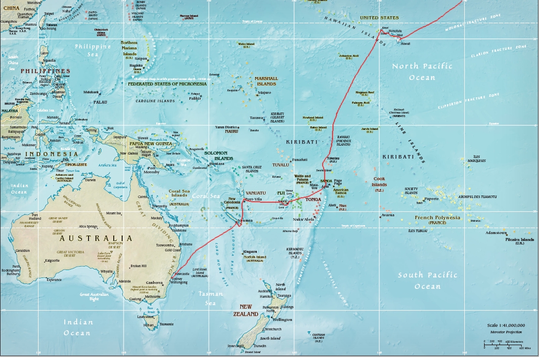
The trip was to visit Oceania. Oceania is comprised of the Pacific islands including Australia. Oceania is divided into three regions reflecting the ethnicity of the native people, Micronesia, Melanesia, and Polynesia. The Micronesians are native to the area roughly encompassing the Carolines, the Marshalls, the Marianas, and the Gilberts. The Melanesians are found from New Guinea to Fiji and are believed to be of similar stock to the Australian aborigines. Polynesians are found in the eastern areas of the Pacific including Hawaii. Micronesians are more Asian, while Melanesians are very dark like Africans, and Polynesians are lighter people who are believed to be originally from the Malayan and Taiwan areas though explorer Thor Heyerdahl thought they were from South America. We visited several South Pacific island in both Melanesia and Polynesia. ports in Melanesia and Polynesia.
We
flew into Sydney, where ship was berthed until the evening of the 18th when we
got underway for New Caledonia. Sydney is a great town with very friendly
people.
On
Saturday we first had a bus tour of the city. We stopped at Bondi Beach where we
admired the scenery and the turquoise blue waters. Then we wandered around The
Rocks area of Sydney where we stopped at an Irish pub called the Merchantile
Hotel. Great beer and even greater entertainment. They had a three person band
playing Irish music, a gal on the fiddle, another on the flute, an d a guy on
the guitar. This group should be
recording!
The
next day we took the ferry to Manly, a suburb on Sydney. Very nice and quiet
town with a beautiful beach on the Tasman Sea. We departed Sydney Saturday at
1714 AEST.
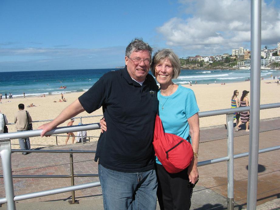
At Bondi Beach
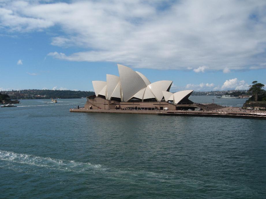
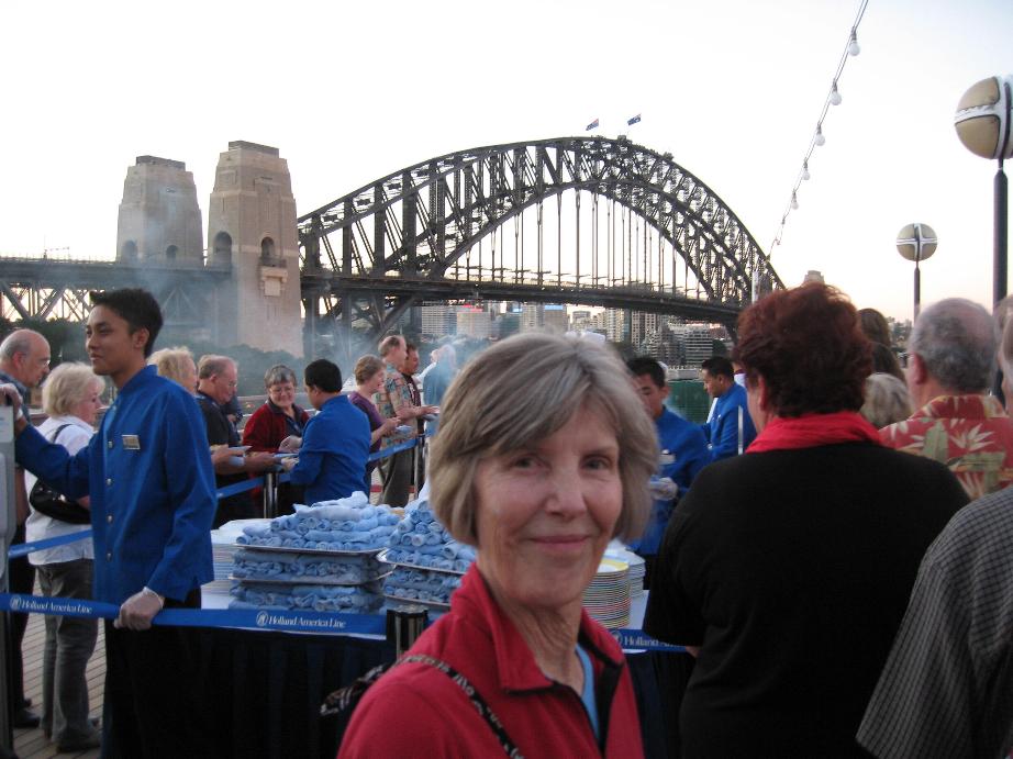
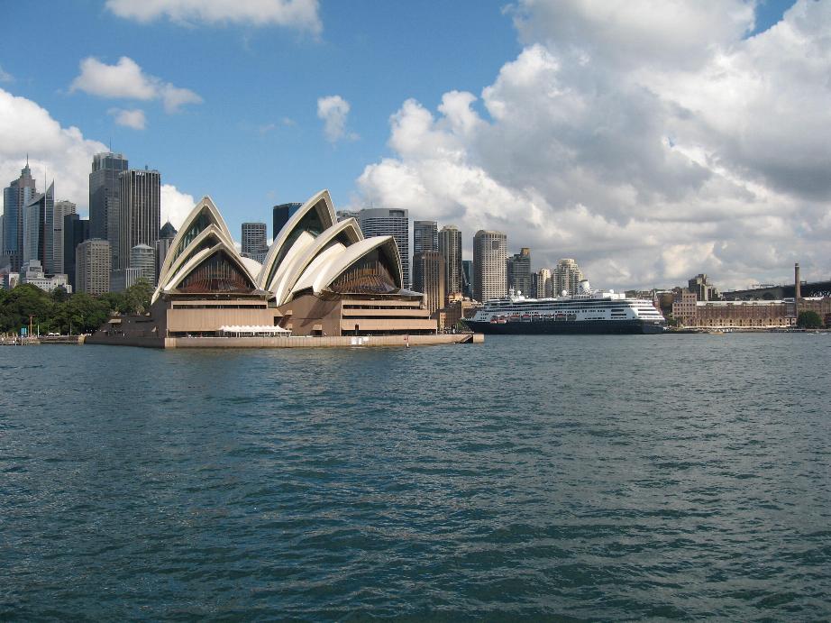
Opera House from our verandah Sydney Bridge from the fantail
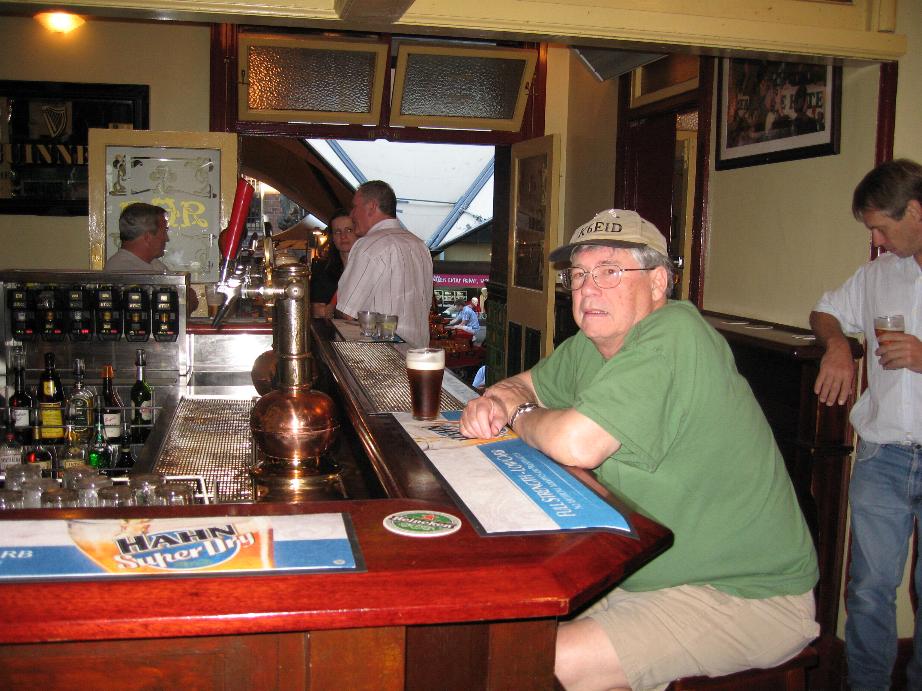
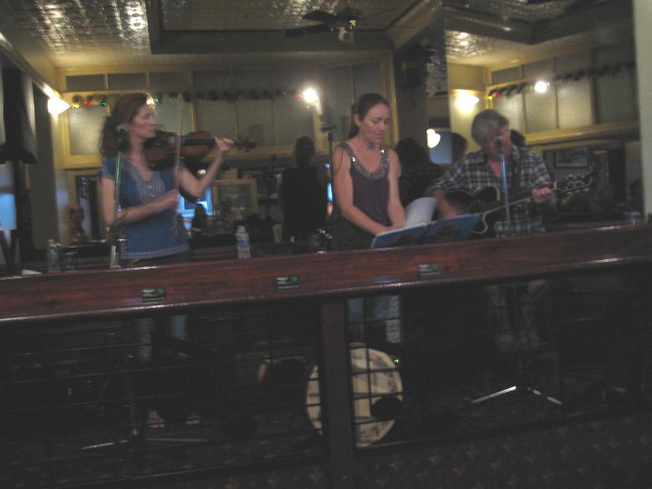
Merchantile Hotel Pub
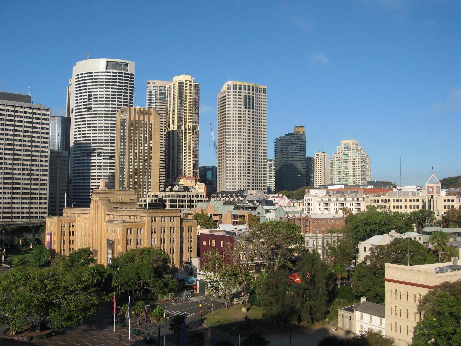
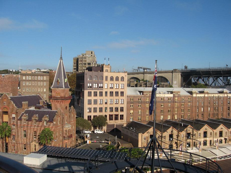
Sydney from Circular Quay where Volendam was berthed
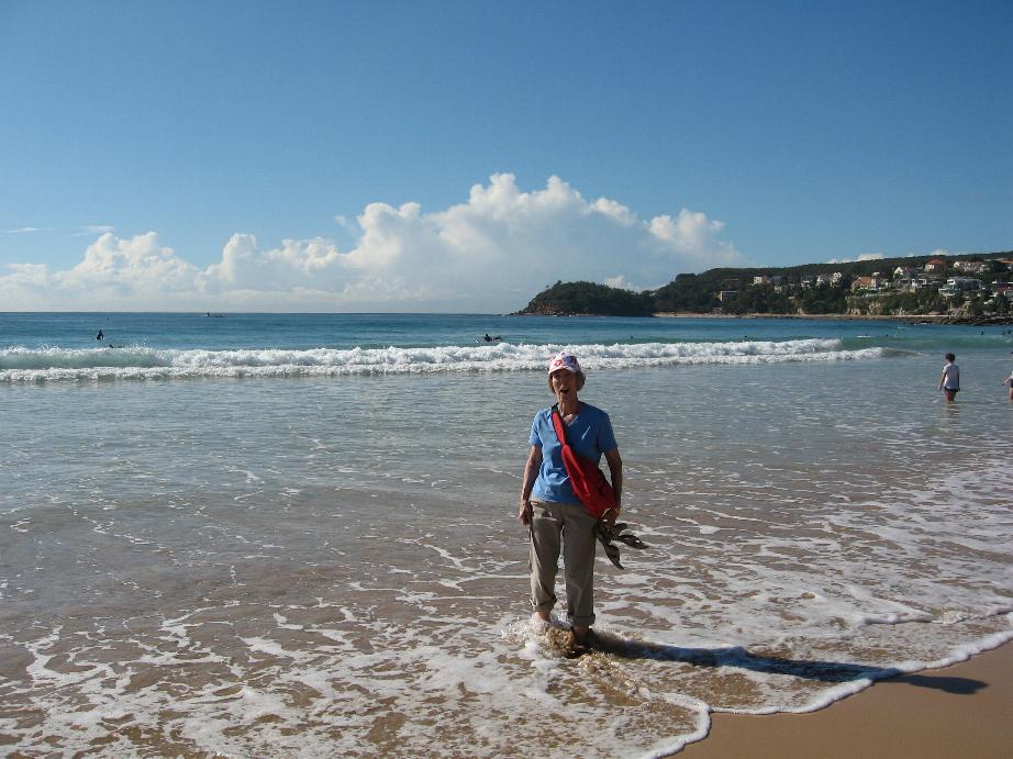
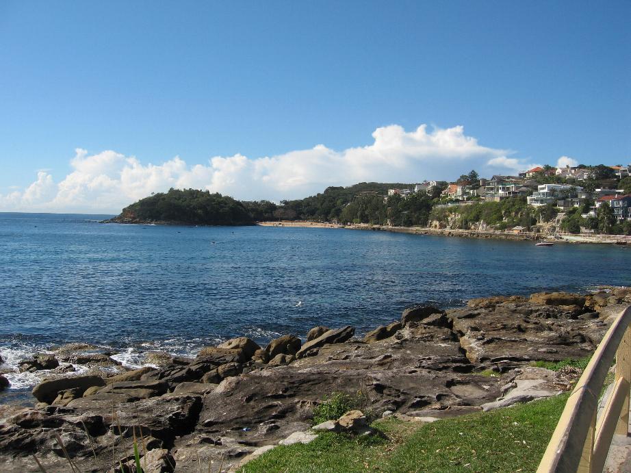
Manly Beach
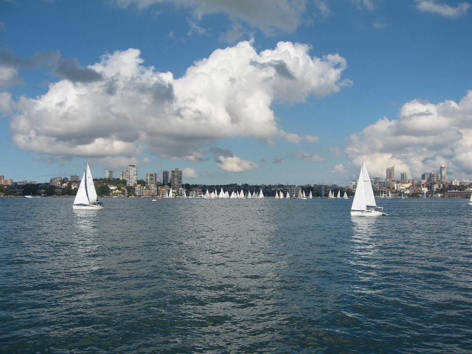
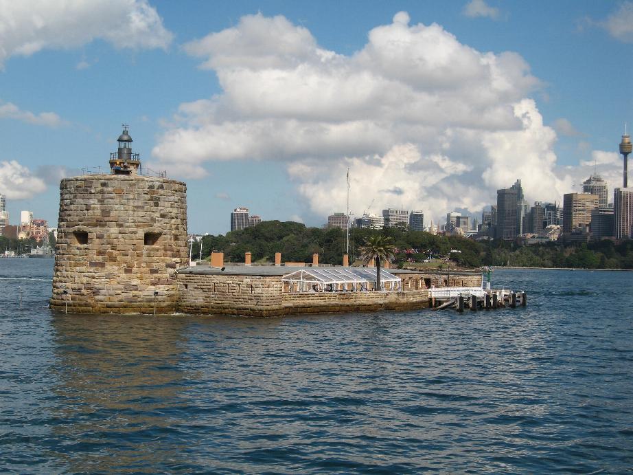
Sydney Harbor
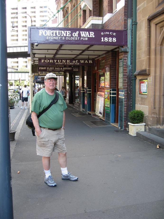
Volendam berthed Sydney’s Oldest Pub
==============================================================
Noumea, New Caledonia

New Caledonia is a French possession and has been under French control since 1853. The islands are slated to have a referendum sometime after 2014 to decide if they want to remain a French territory or if they want to form an independent state. The French established penal colonies here where common criminals as well as socialists and other anarchists were exiled. Some of the latter element has been agitating for independence and led to unrest and agreements to allow self-determination.
Noumea is a large and fairly modern city. The place is clean and well kept up. There are no skyscrapers, the highest buildings maybe 4 or 5 stories. The local populace includes Europeans and Melanesians with some Polynesians and Asians. The indigenous people call themselves Kanaks.
We were met a the terminal by local musicians. We then took a one hour van tour of the city and its environs along with some fellow passengers from Germany, Austria, and the Ukraine. The Austrian commented to the Caucasian driver that the native women were really ugly. The driver said he is married to a native. The Austrian quickly responded that he was sure the driver’s wife was beautiful.
.Later we took a local bus (the blue No. 2) to the Tjibaou Cultural Center which has museum of Kanak history as well as re-creations of a Kanak village. One nice feature is that we folks over 65 have free admittance!
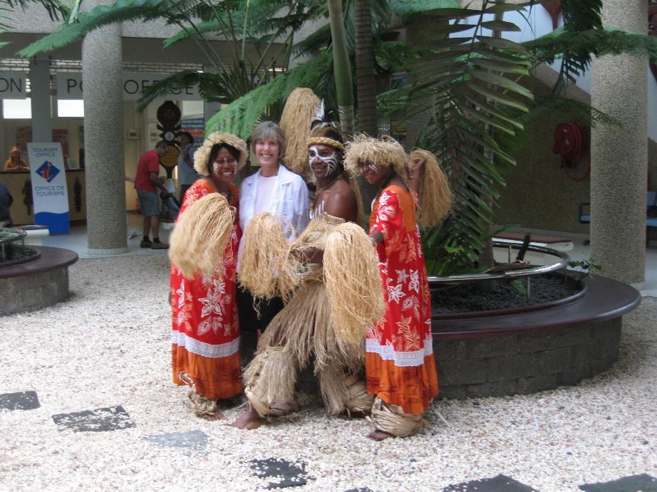
Marilyn with some of the locals
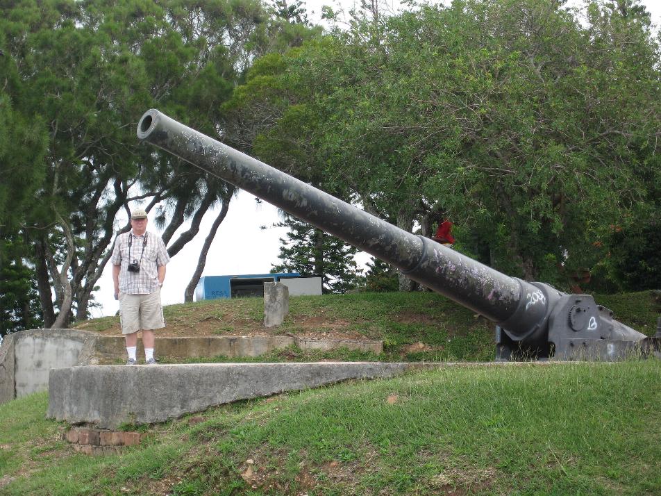
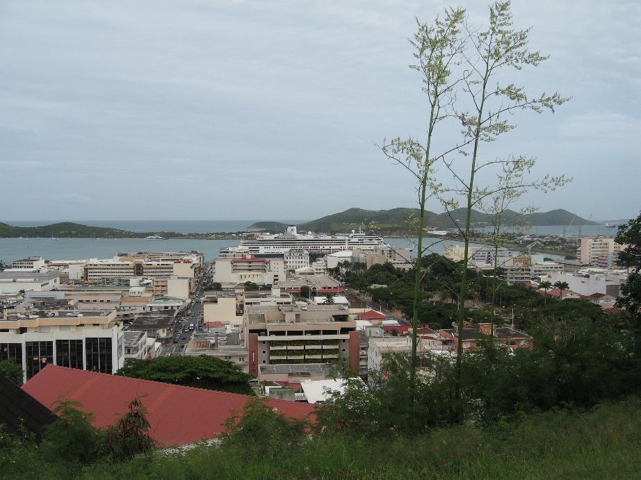
WWII gun emplacement Downtown Noumea
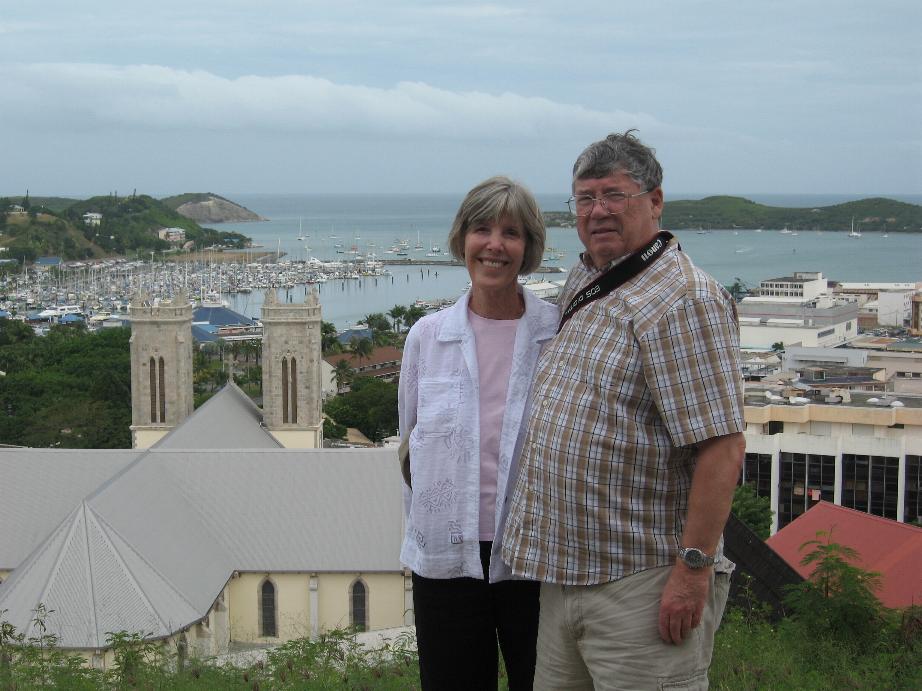
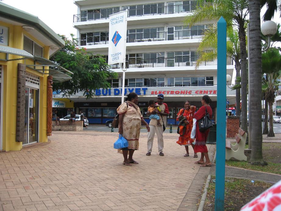
Overlooking Noumea Local Melanesian family
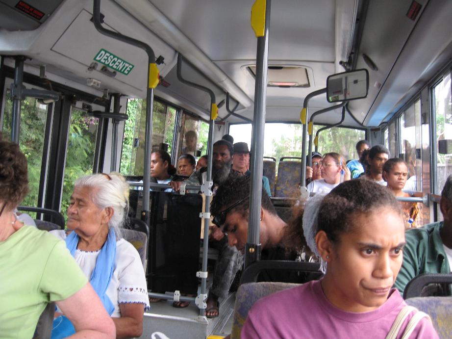
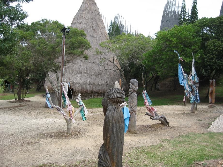
On the bus to Tjibaou Center Kanak village at Tjibaou
==============================================================
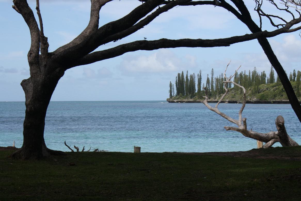
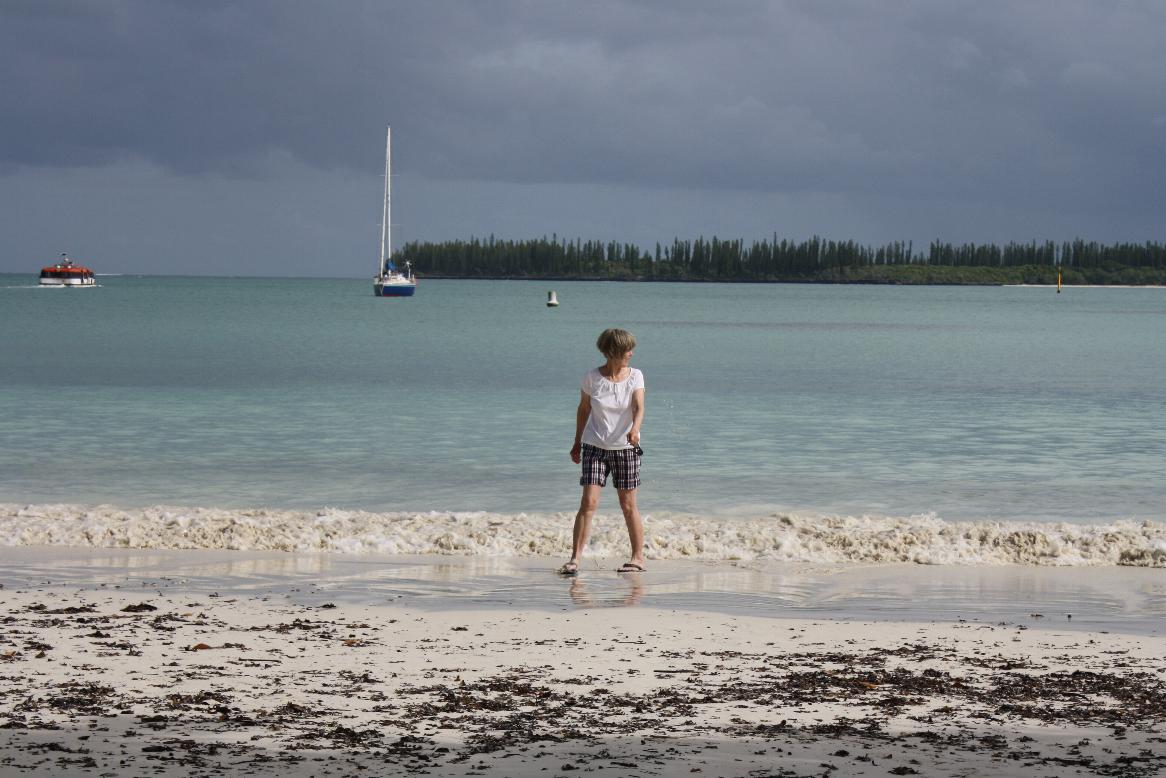
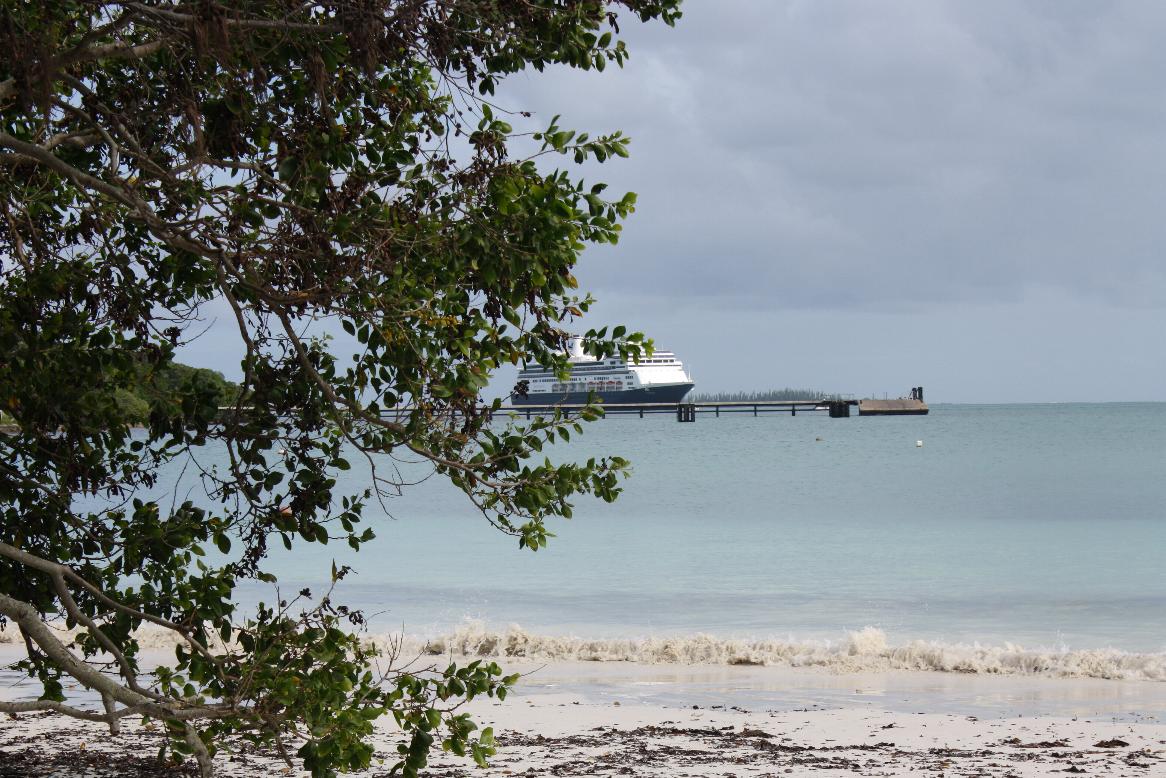
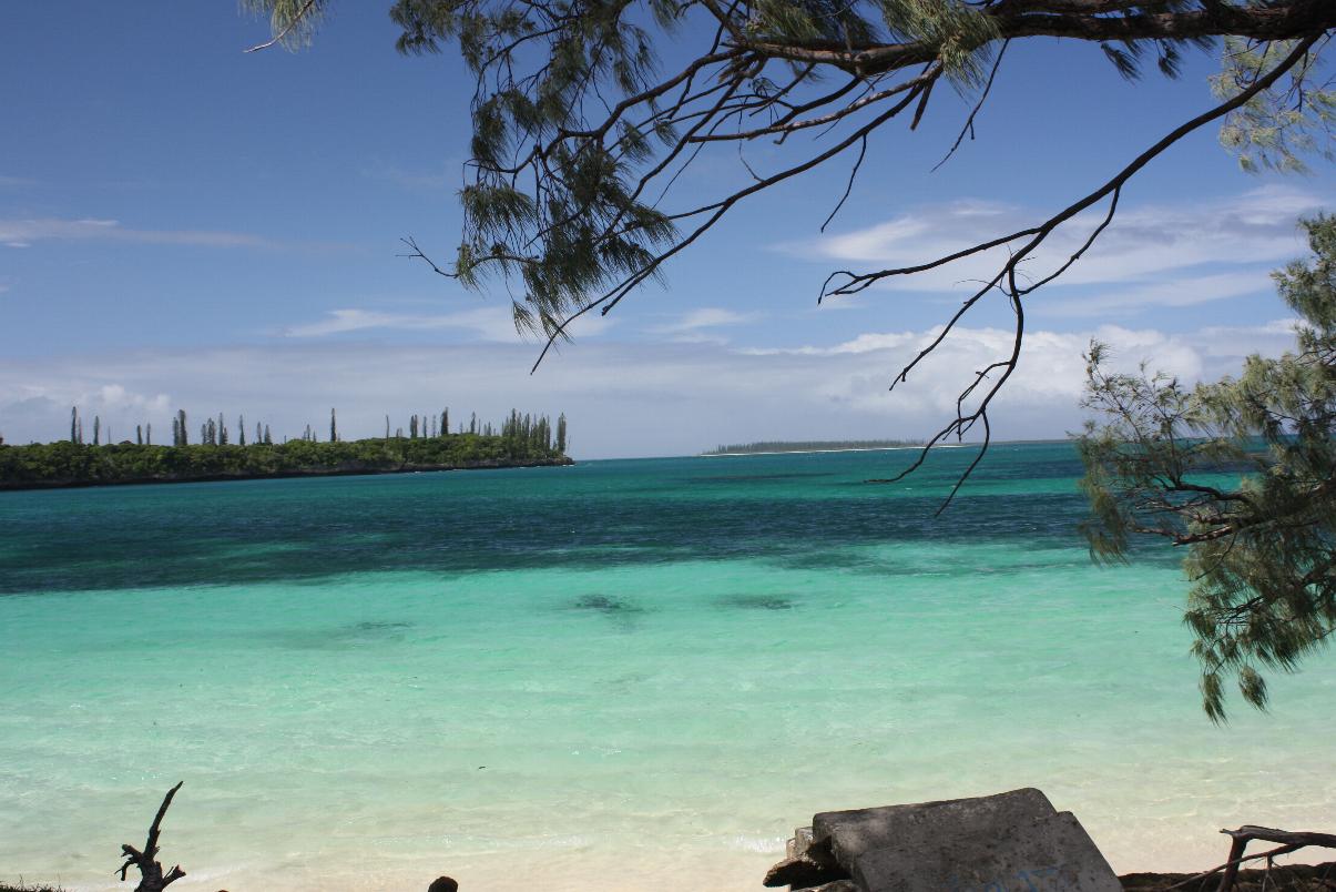
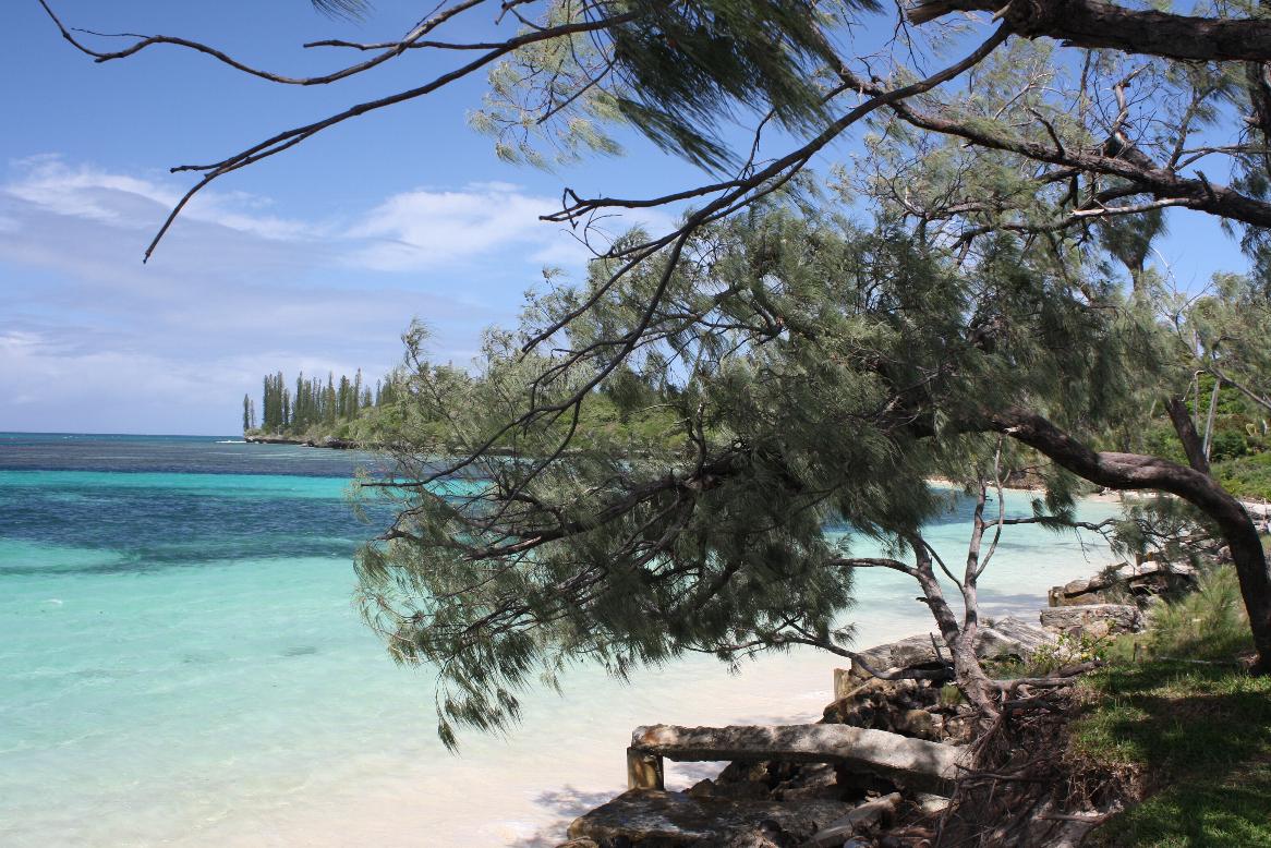
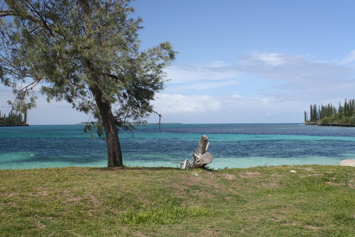
Ile des Pins, New Caledonia
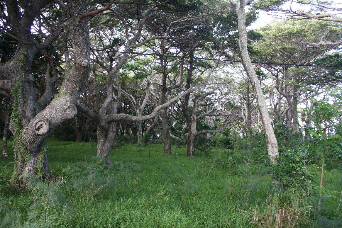
The island was first discovered by British Captain James Cook in 1774 on his second voyage to New Zealand. Captain Cook gave the island its name after seeing the tall native pines. France took possession of the island in 1853. In 1872 the island became a French penal colony, home to approximately 3,000 communistic political deportees from the Paris Commune. The Isle of Pines is often nicknamed l'île la plus proche du paradis ("the closest island to Paradise") and is famous for snorkeling and scuba diving in and around its colorful lagoon. The island is heavily forested with unusual trees and shrubs as well as coconut palms. The flora is said to be from the Gondwana era when Australia, New Zealand, and New Caledonia were joined.
This was a great stop! There are a few inhabitants on this picturesque and beautiful island. There were only a couple of shops, a snack bar, a resort (that charges US$500 a day!) and a few stands that the locals set up to sell items (I noticed a box of “local hats” labeled ”DHL Noumea,” no doubt from China). We were met by a local group of men and women in native garbs singing island songs and dancing. We walked all over and really enjoyed the natural beauty of the island. It is truly what one envisions when you think of a South Pacific island!
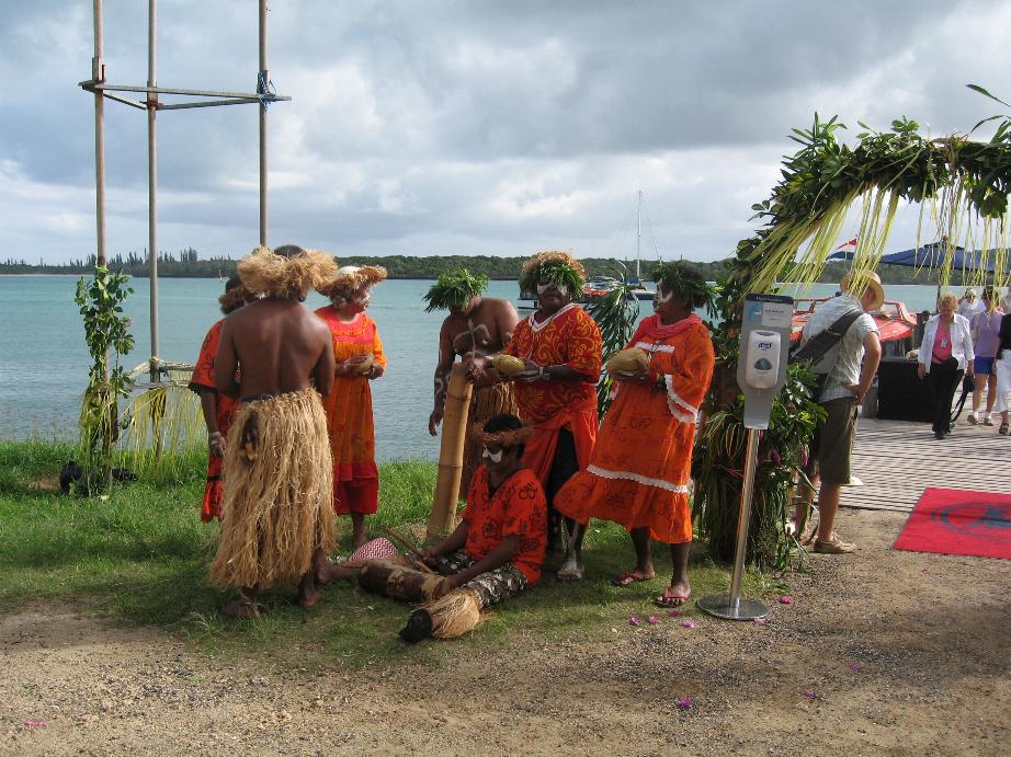
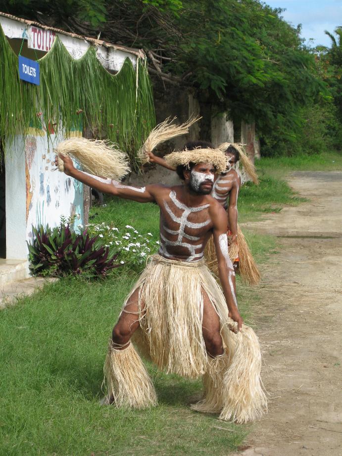
Welcoming entertainment
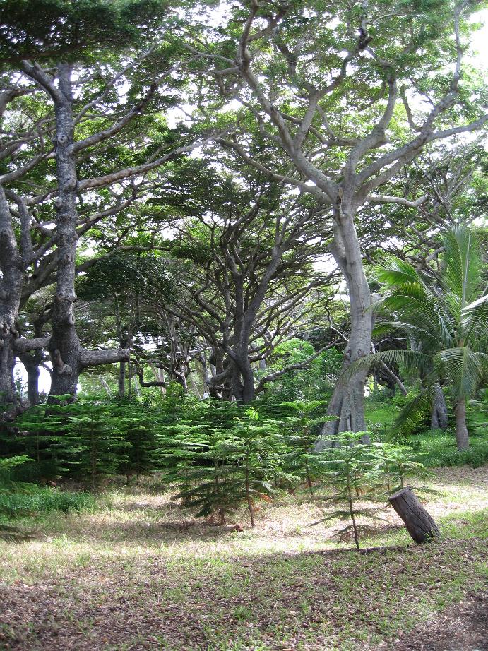
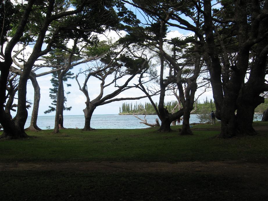
Along the walkway
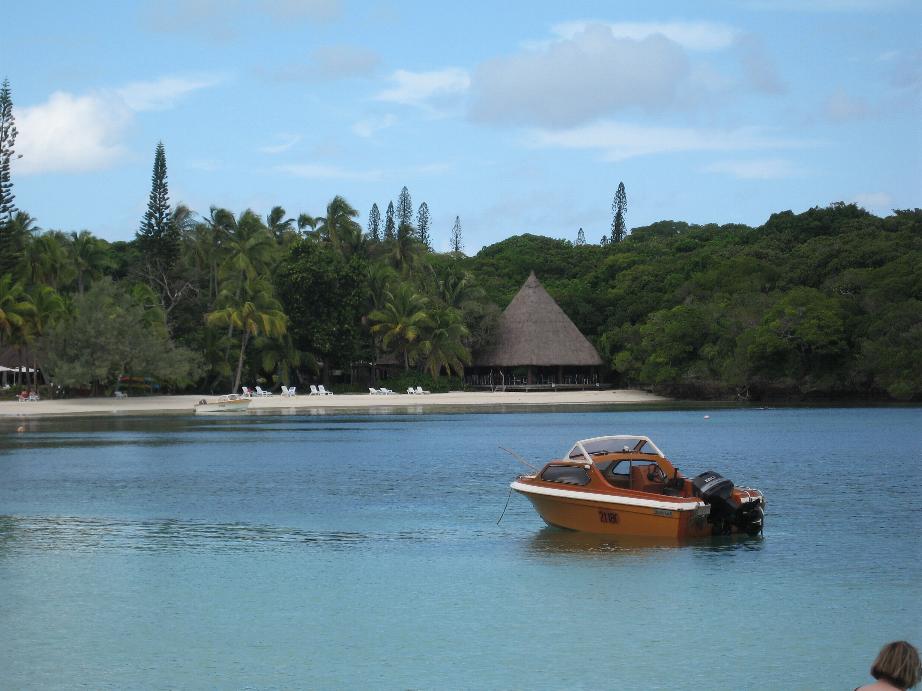
At right is the expensive resort
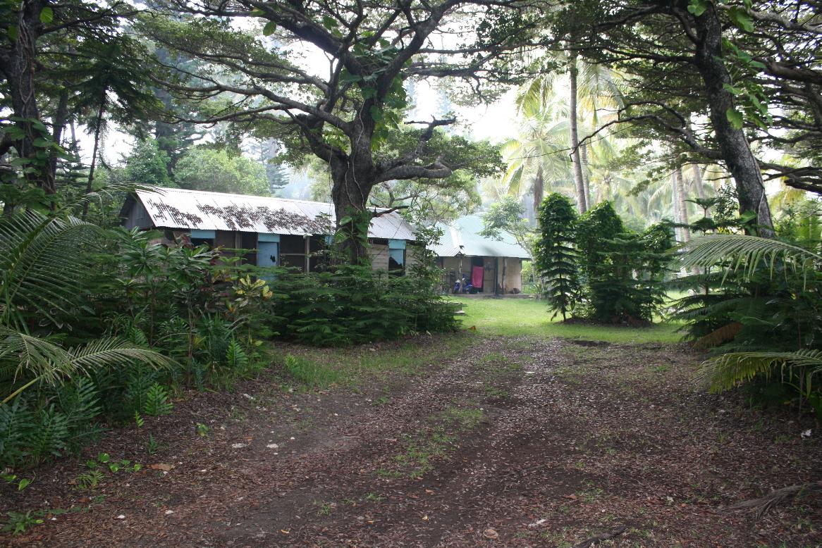
At left, a local home
==============================================================
Port Vila, Vanuatu
Vanuatu was first inhabited by Melanesian people. 1606 Portuguese explorer Pedro Fernandes de Queirós sailing under the Spanish flag passed by the islands. Europeans did not return until 1768, when Louis Antoine de Bougainville rediscovered the islands. In 1774, British Capt. Cook named the islands the New Hebrides after their similarity in appearance to the Scottish Hebrides Islands In the 1880s France and Great Britain claimed parts of the country, and in 1906 they agreed on a framework for jointly managing the archipelago as the New Hebrides Condominium. An independence movement arose in the 1970s, and the Republic of Vanuatu was created in 1980.
We were met at the terminal gate by a multitude of Melanesian minibus drivers, all trying to land customers to take into town. We succumbed to one and he really put the press on us to hire him to drive us around that part of the island. We declined and departed at town center.
Port Vila is rundown city. The streets are potholed and irregular. The buildings are sadly in need of maintenance. We decided to take a trip to Mele Cascades (waterfalls) and stopped at the Tourist Office to get information. They told us to catch the bus at the Post Office. We proceeded there where we were accosted by many minivan drivers offering to take us there for $50 a person! Finally one told us he had six other ship’s passengers lined up at Noon and we could join the trip for $10 apiece. We did that. He stopped at a market and bought bags of candy to give to kids we see along the way. He drove through a local village that had many small houses and sheds. Most had no windows. Many had chickens and pigs roaming in the yards. Kids surrounded the bus and traded us flowers for candy. I think I have some good video of this.
Port Vila is a disappointment. The contrast between New Caledonia, a French possession with the same demographics, and Vanuatu is stark! It reminded us of areas we saw in Jamaica where people just don’t care about upkeep of their surroundings. When we were in the Caribbean we were quite struck with the difference between Jamaica, a former British colony now independent, and the Cayman Islands, still a British colony. Jamaica is poor and dirty, the Caymans are well-to-do and clean. It appears that some places would be better off under a colonial administration rather than striking out for their “independence.”
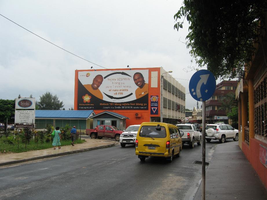
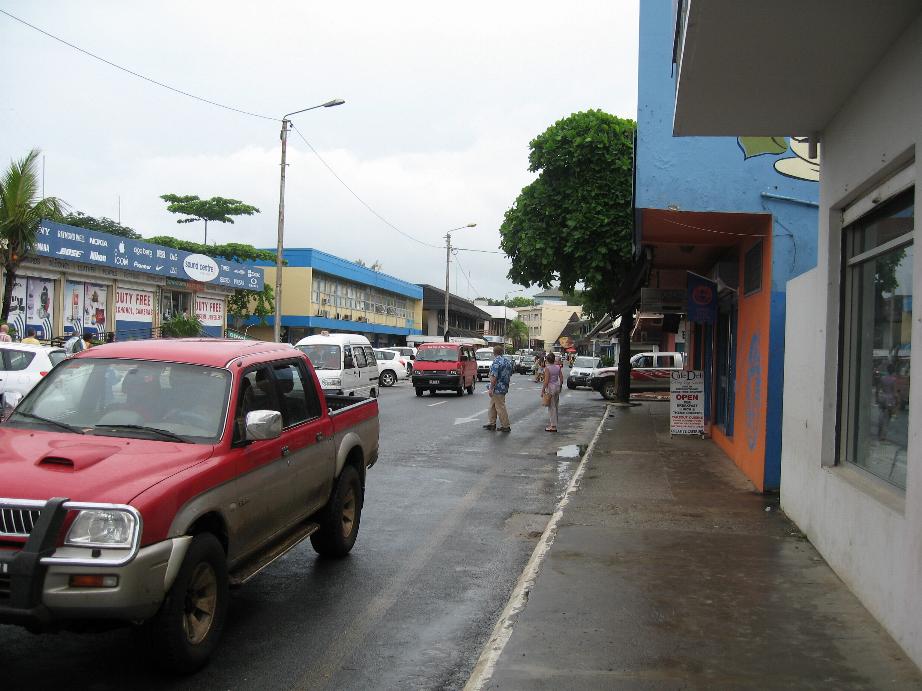
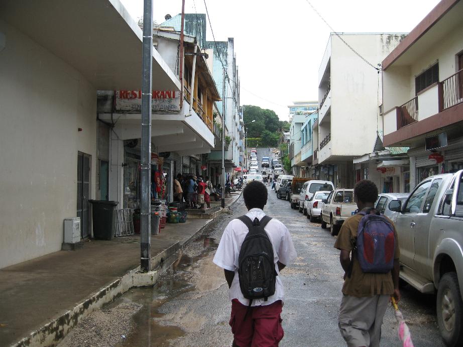
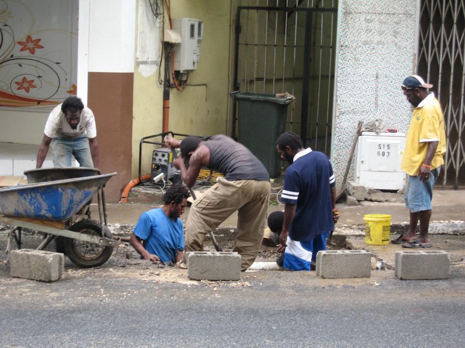
Port Vila street scenes
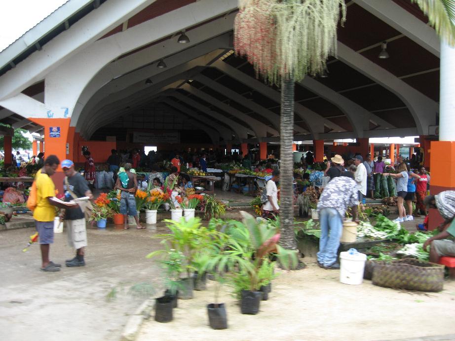
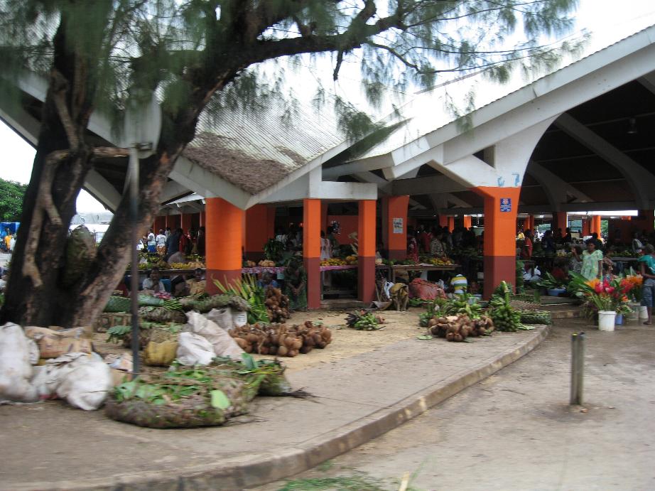
Port Vila Fruit Market
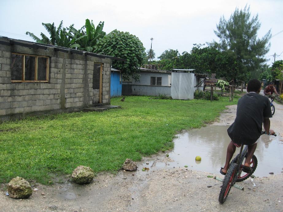
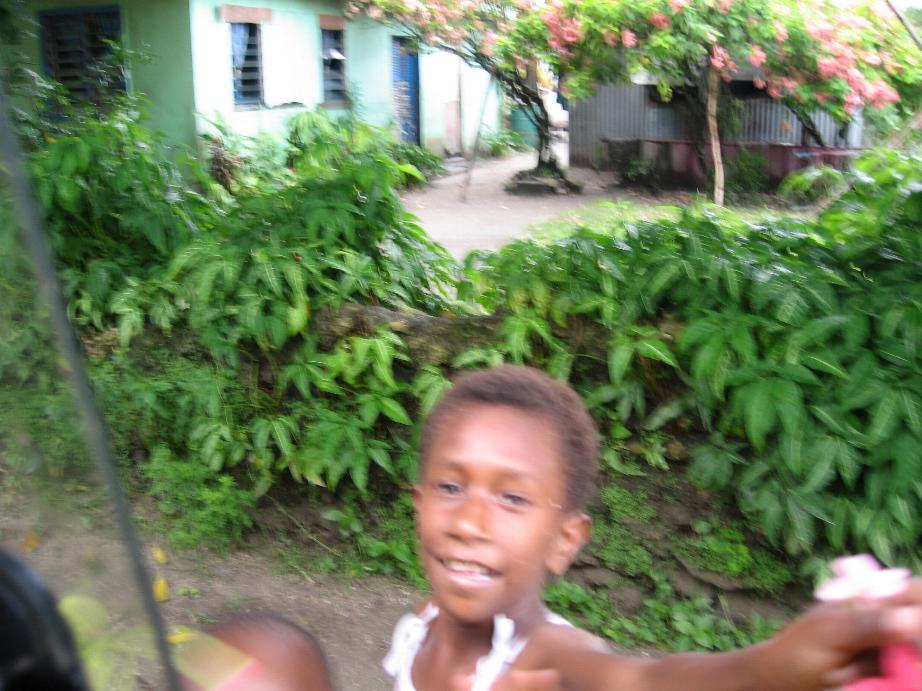
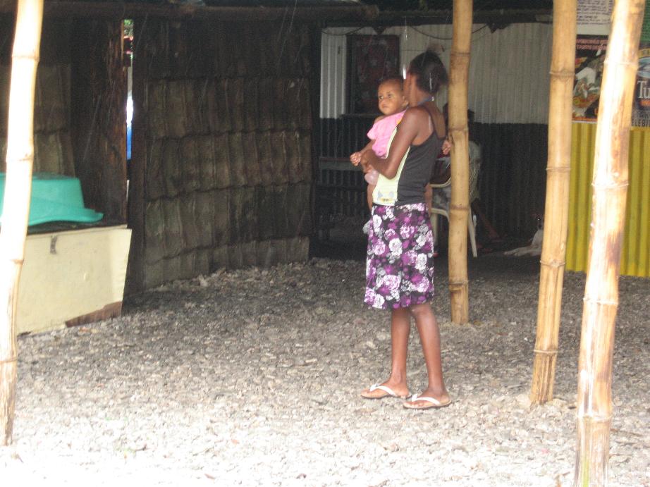
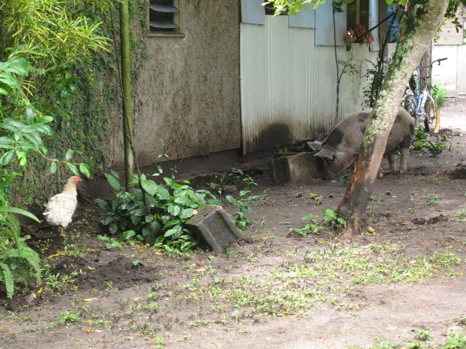
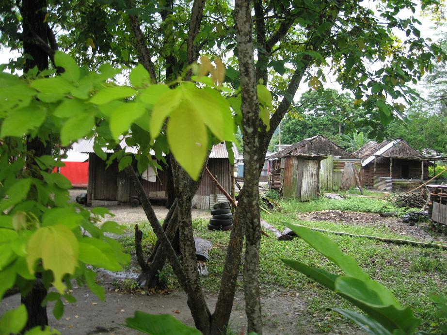
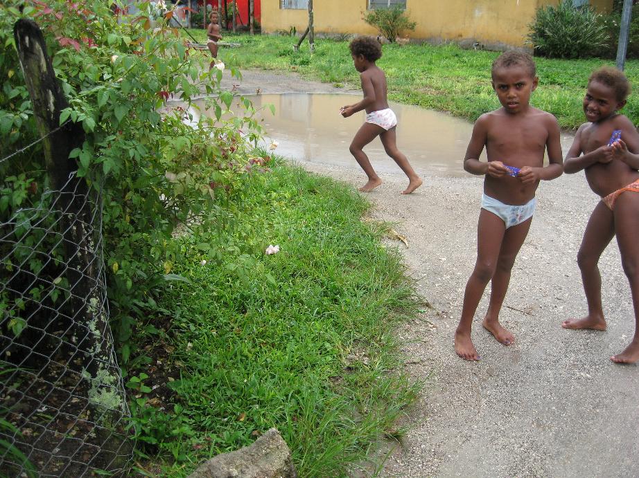
Native village
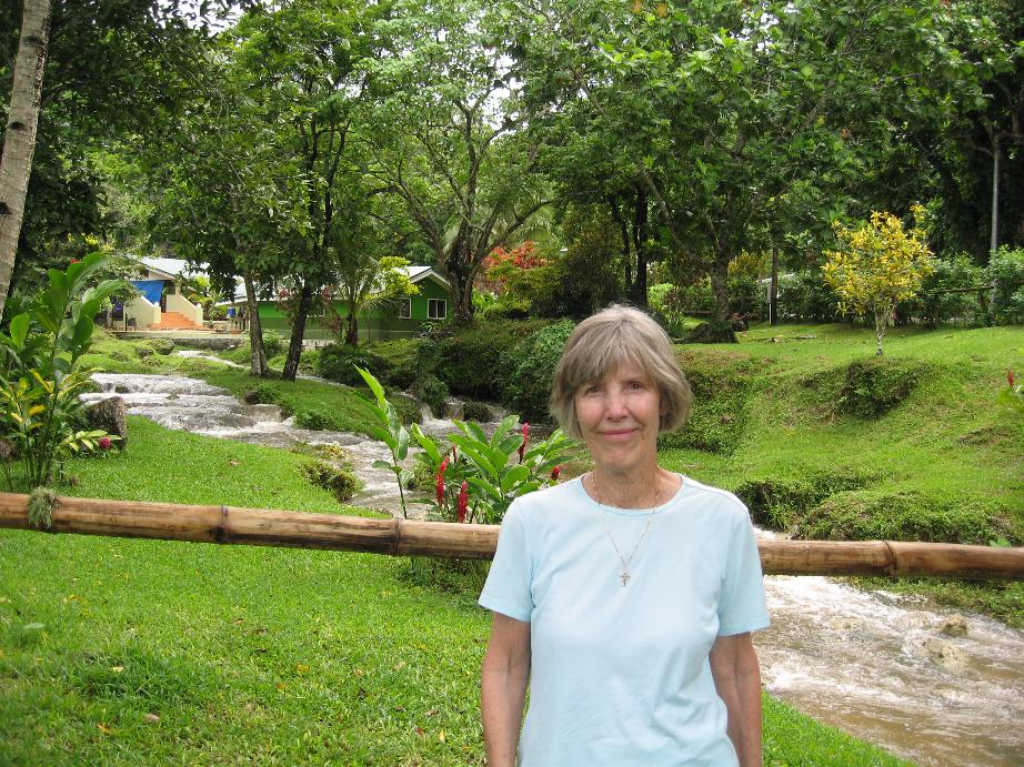
Mele Cascades
==============================================================
Lautoka, Viti Levu Island, Fiji
The islands were first settled by Polynesians but later Melanesians arrived. Dutch explorer Abel Tasman visited Fiji in 1643. Europeans started settling in the early 1800s. The islands were ruled by local kings until 1874 when the British established it as a colony. The British imported many laborers from India and Indians ultimately became a majority of the islands' inhabitants much to the Fijians's dismay. Fiji became independent in 1970 though it is still a member of the British Commonwealth (in fact, the banknotes picture Queen Elizabeth II).. Anti-Indian activity caused many of the Indians to emigrate from Fiji with the result that Melanesians again became the largest ethnic group in the islands. Most businesses are still owned and operated by Indians.
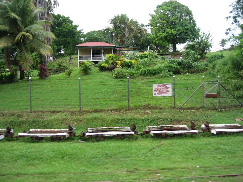
Lautoka is the second largest city and is located on the west part of the main island of Viti Levu. It is an industrial city whose main industry is sugar growing and production. Since this was Sunday, most shops were closed so we took a local bus down to Nadi, a larger city about 30 miles south. The bus made many stops to pick up and discharge passengers so we saw a lot of people and a lot of Fijian countryside. In Nadi, at least a few places were open. A Fijian local told us every store there was owned by Indians save one which was owned by a native Fijian.
The Fijian people as extremely friendly, always smiling, waving and wishing “Bula” (hello). The Indian merchants are very aggressive and persistent.
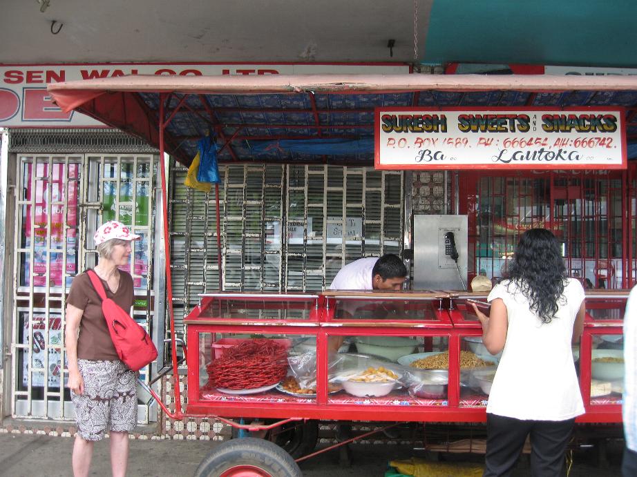
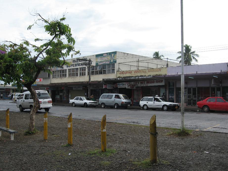
“Sweets’ stand in Lautoka Lautoka street scene
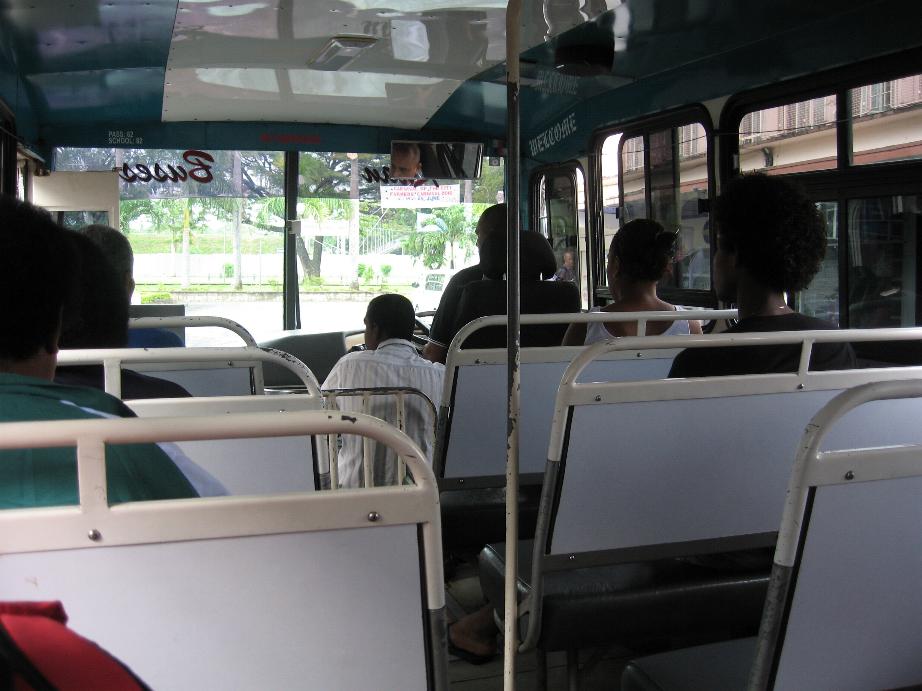
Bus to Nadi House along Nadi road
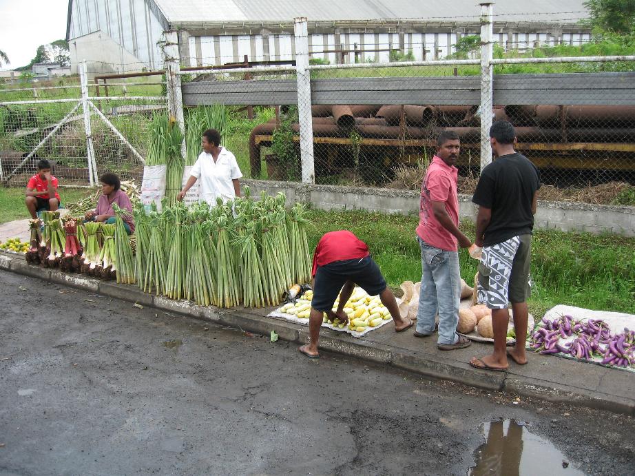
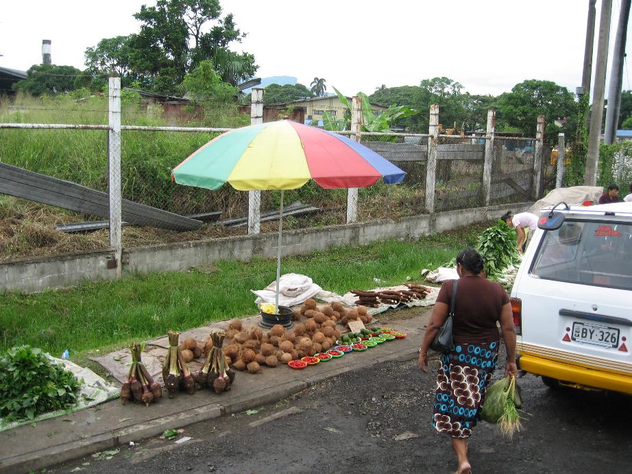
Street
venders near sugar mill in Lautoka
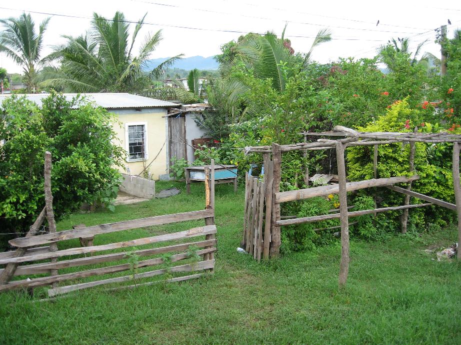
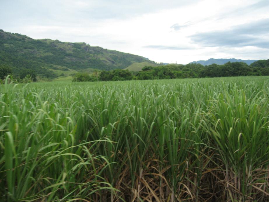
Fijian house Sugar cane field
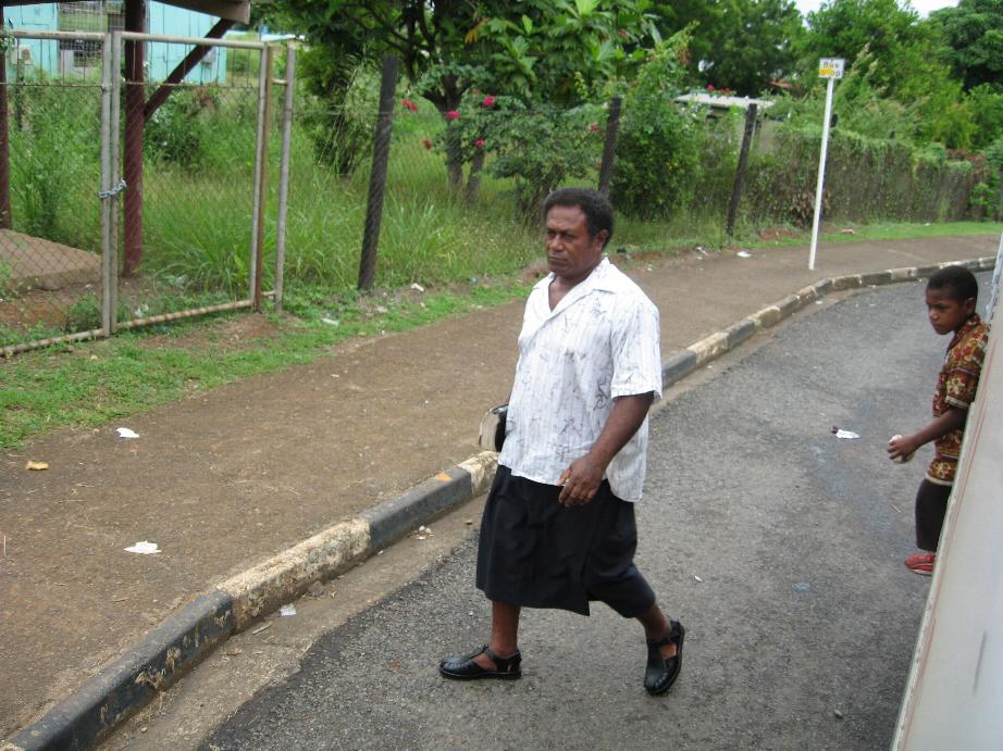
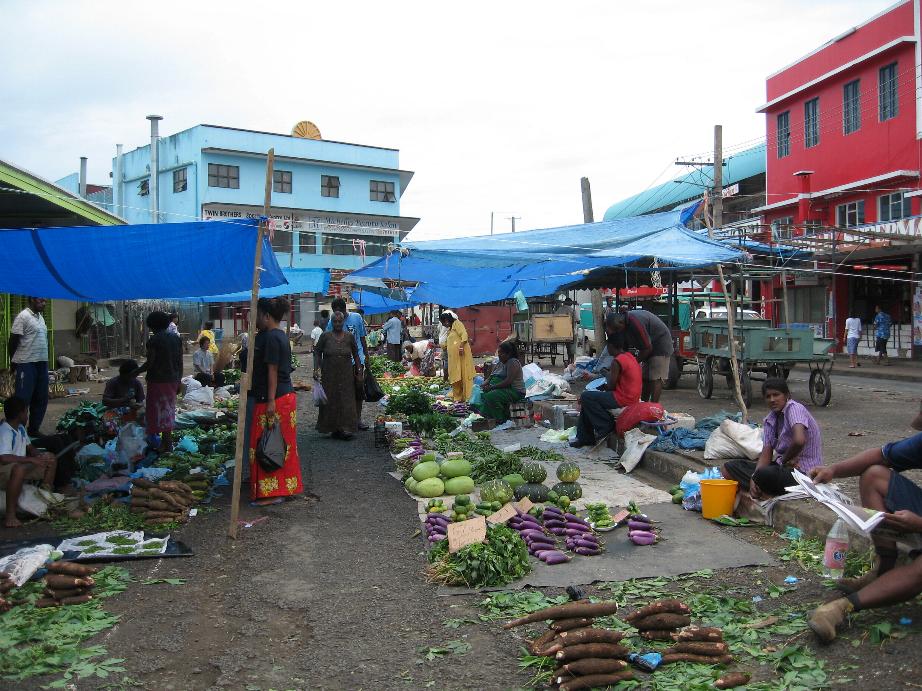
Fijian passenger wearing lava-lava leaving bus Nadi vegetable market
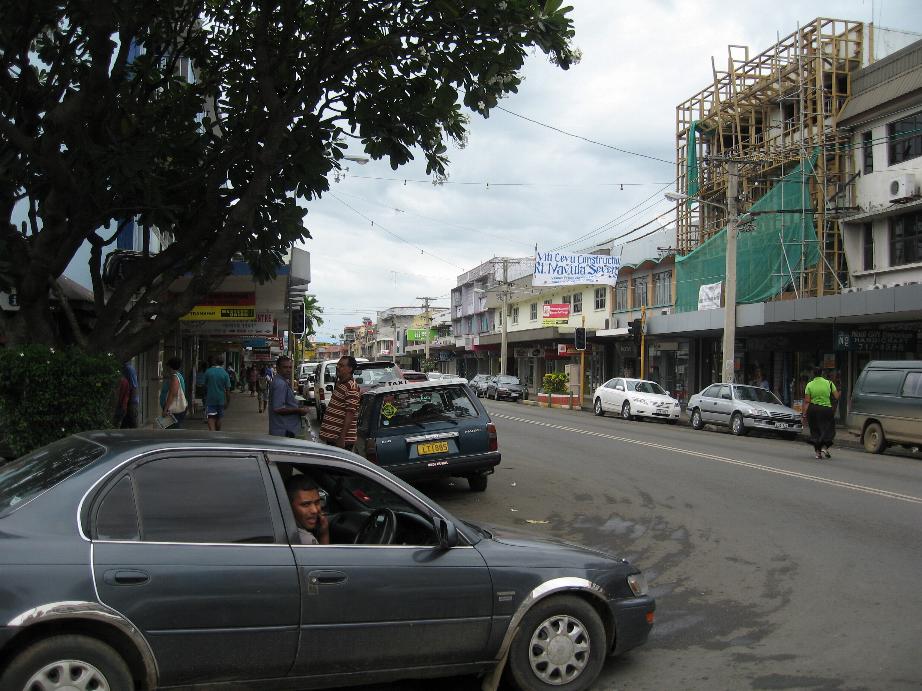
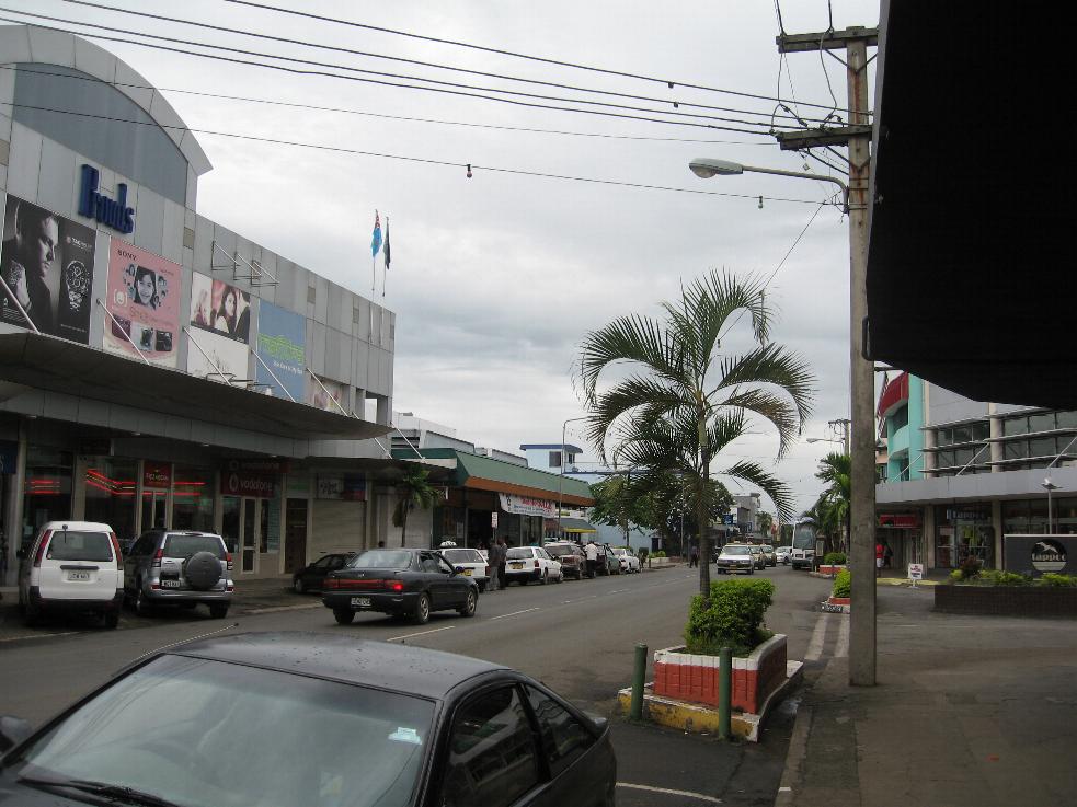
Nadi street scenes
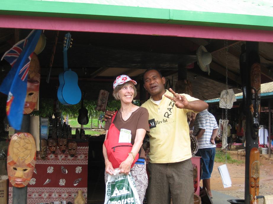
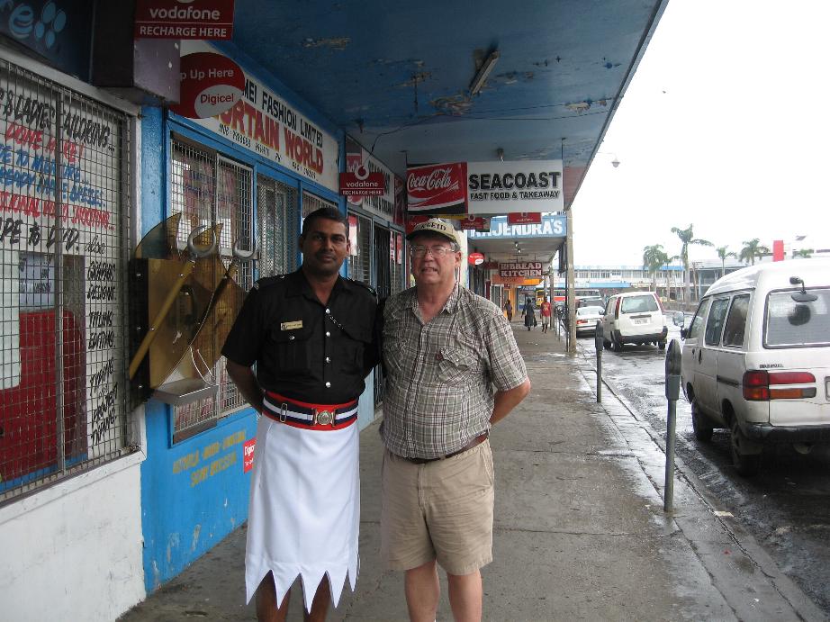
Marilyn at Nadi Handicraft Center Fijian policeman in Lautoka
==============================================================
Suva, Viti Levu Island, Fiji
The Dravuni Island visit was cancelled early this morning due to inclement weather. Winds were 45 kts., it is raining, and seas are too rough to chance going through the coral reef so the Captain decided to go to Suva instead. Suva is the capital of Fiji. Since we are crossing the International Date Line, we have two April 26th days, one west of the Line in Suva and the second on the east side at sea.
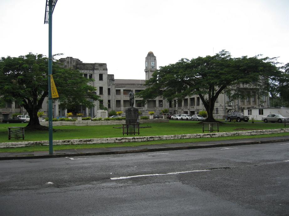
Suva is a large and clean city. We walked from the ship to the Suva Food Market where locals sell their produce. We then headed through town to Thurston Gardens. The area had been hit by a heavy storm with gale force winds the night before so much of the gardens were flooded and impassible due to pooling of water and debris knocked down from trees.
The Suva Museum is on the grounds of the Gardens. We went there and saw many native canoes and boats that were used to transport people between islands, to carry goods down the rivers, and to fish. They have a rudder from HMS Bounty that was recovered in 1937 at Pitcairn Island (if you recall, the mutineers burned the ship to prevent anyone from leaving the island and to avoid discovery by passing vessels).
After that we continued down the road to the President’s Residence which is adjacent to the Gardens. The facility is guarded by a single Fijian military sentry. This used to be the British Governor General’s residence in colonial days.
Then we walked back to town. On the way we passed an internet/telephone company that advertised overseas calls at 19 Fiji cents (about US 10 cents) per minute. We went in and placed calls to our kids. Only one went through and we talked for a bit and the bill was a riproaring Fiji $1.50! After that we stopped at McDonald’s for hamburgers.
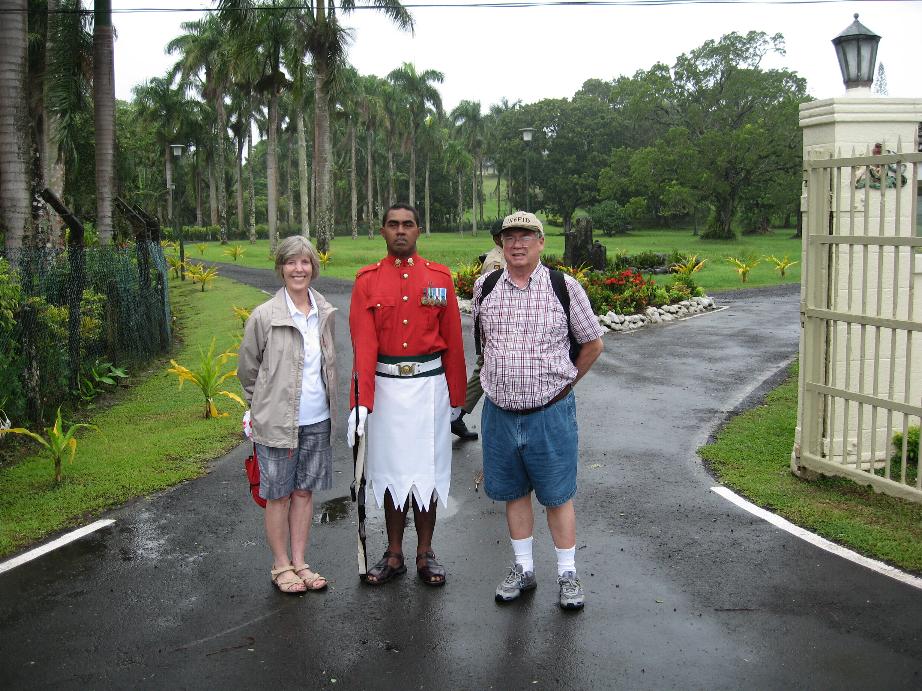
At the Presidential Residence
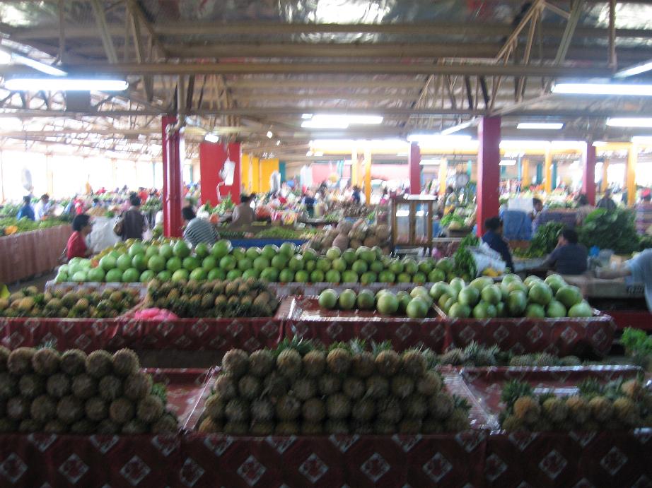
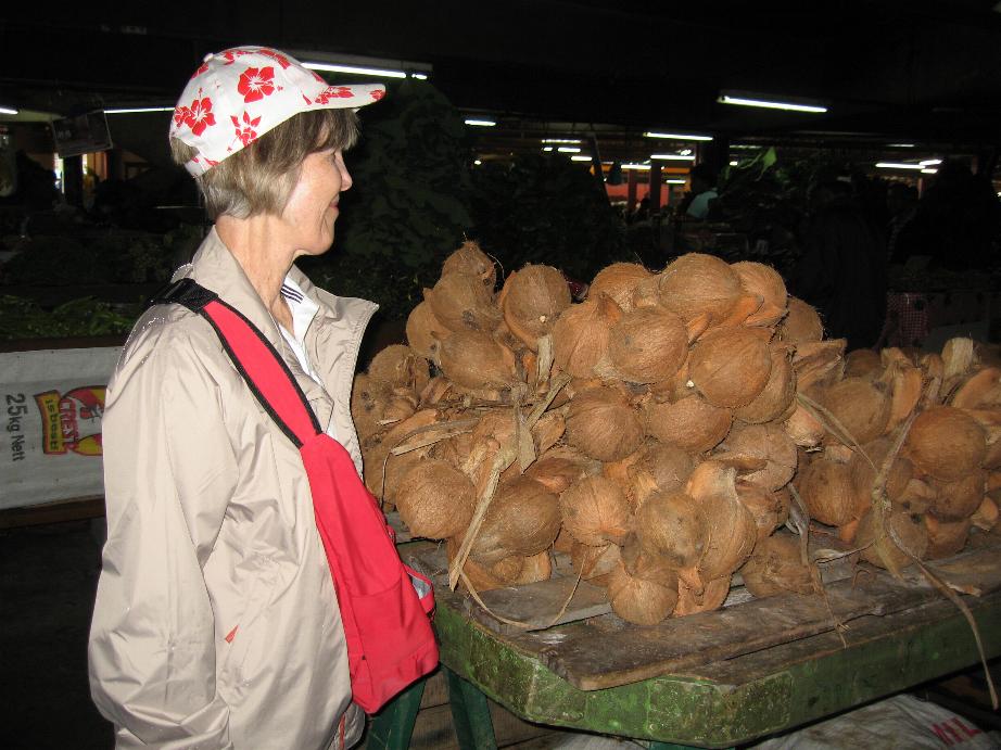
Suva Food Market Marilyn admiring coconuts
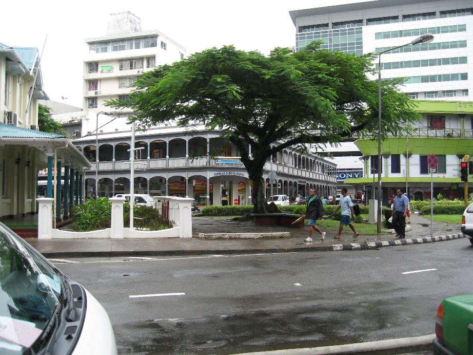
Suva street scenes
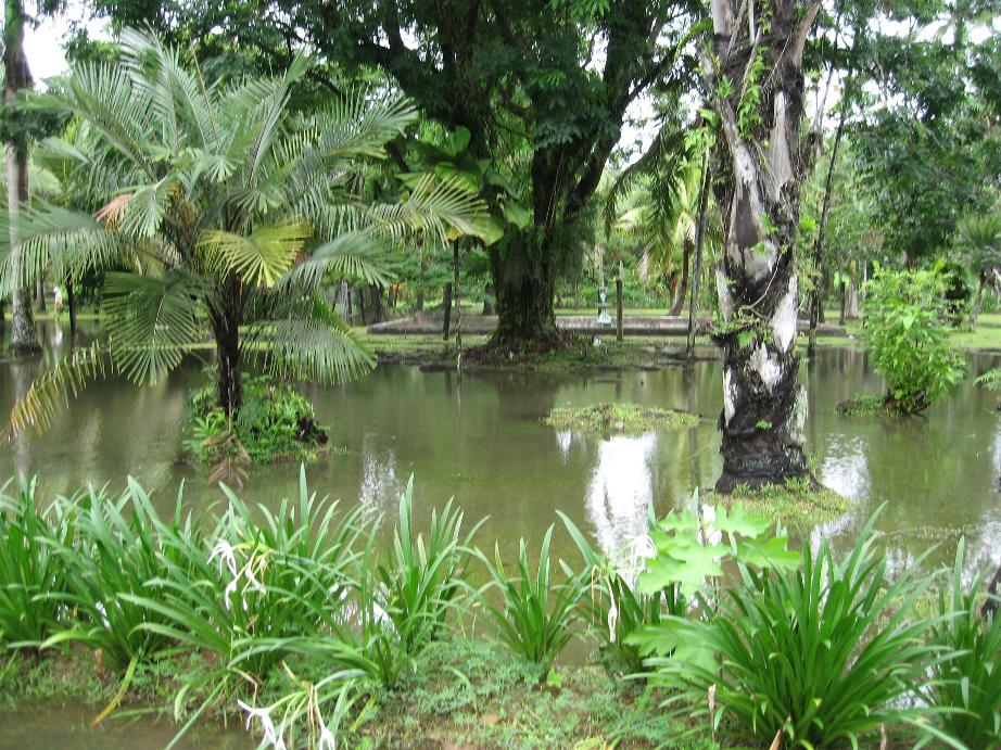

Thurston Gardens (note flooding at left)
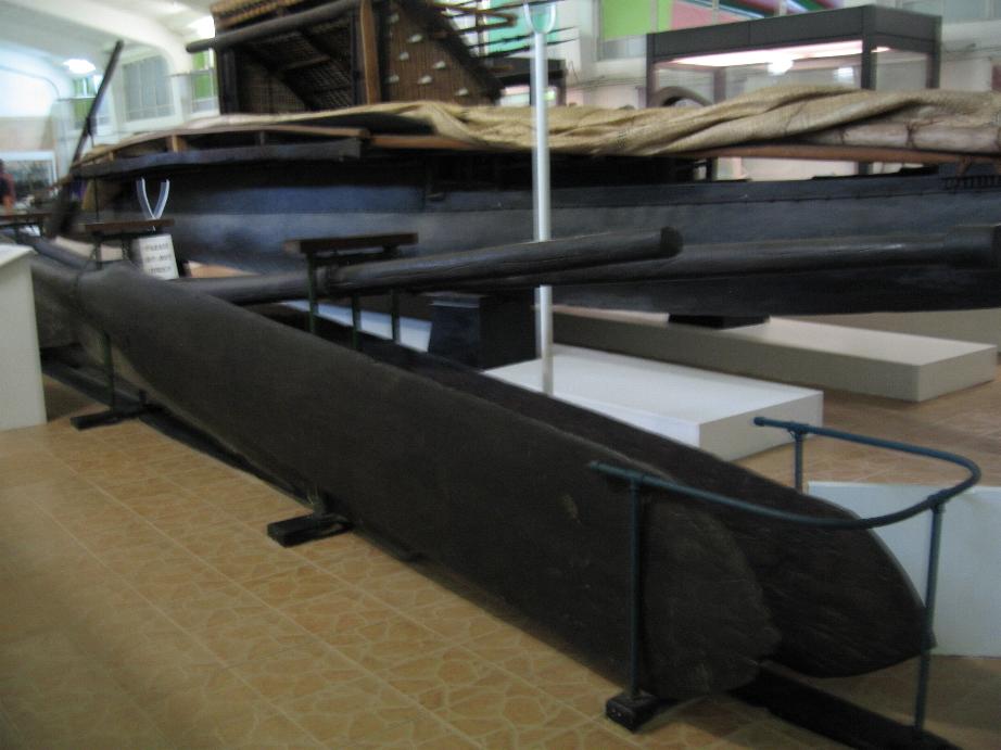
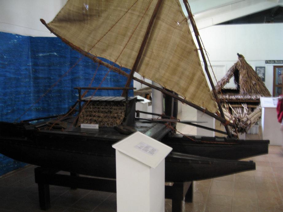
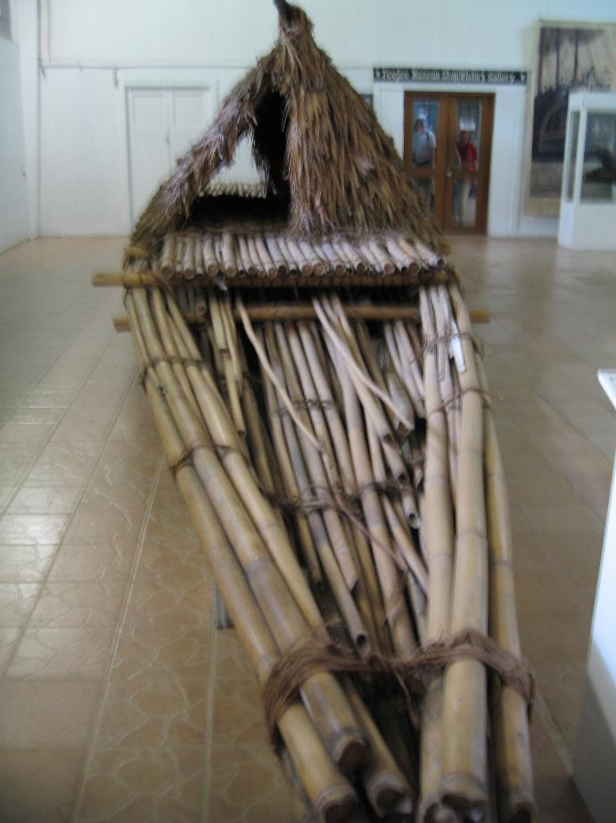
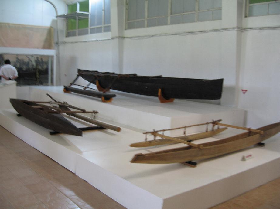
Fijian watercraft at Suva Museum
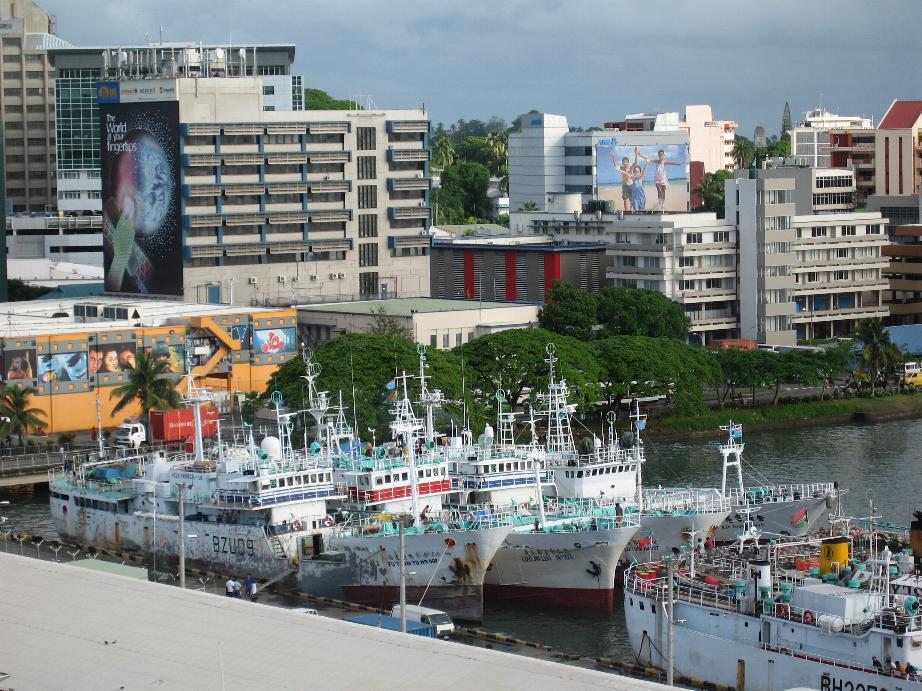
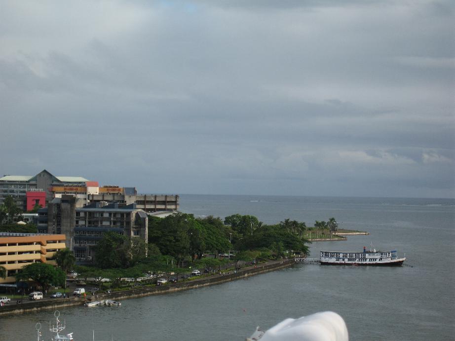
Suva from the ship
Viti Levu Island from the ship
====================================================================
International
Date Line
The second April 26th was spent at sea. We crossed the Line at around 3PM. The first dateline problem occurred in association with Magellan’s circumnavigation of the globe in 1519-1522. The surviving crew returned to Spain sure of the day of the week as they keep meticulous ship’s logs. But the folks ashore insisted the day was different. This phenomenon, now readily understood, caused great excitement at the time, so much so that a special delegation was sent to the Pope to explain this time oddity to him!
====================================================================
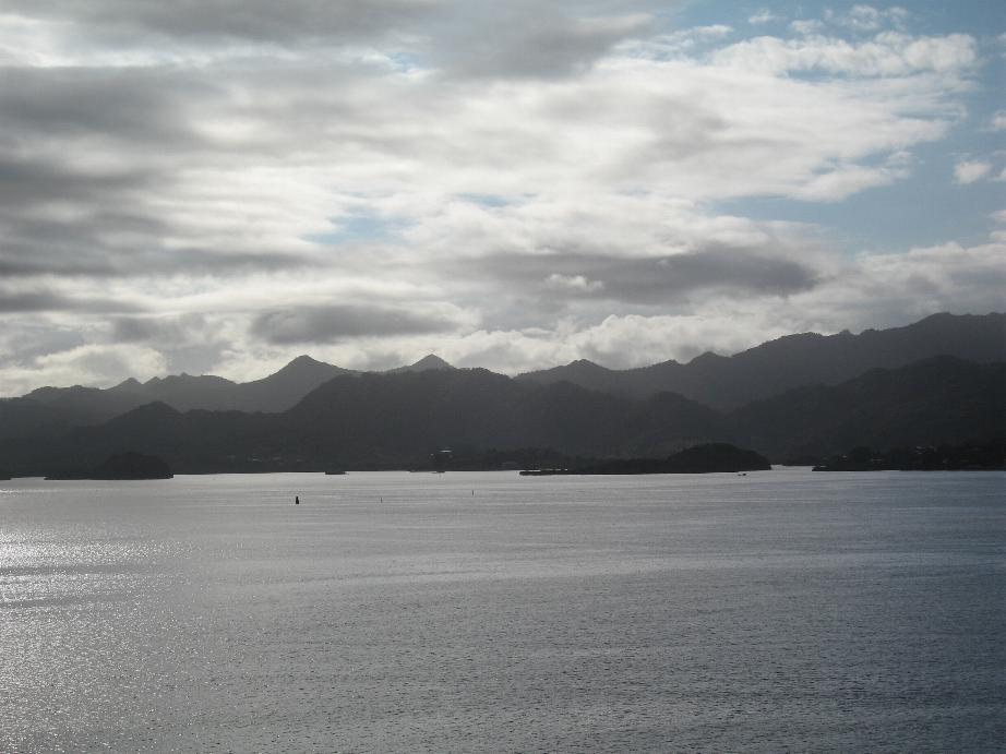
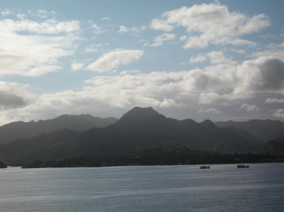
Apia, Upolu Island, Samoa
Apia is the capital of the Republic of Samoa. It was a New Zealand trust territory until 1962 when it became independent. Dutch explorer Jacob Roggeveen was the first known European to sight the Samoan islands in 1722. This visit was followed by a French explorer Bougainville who named them the Navigator Islands in 1768. The Germans occupied Western Samoa which became known as German Samoa. New Zealand forces occupied the islands early in World War I.
Sa Moa in Samoan means “sacred chickens.” Legend has it that the Samoans are descended from the sacred chickens of Lu, the only son of Tagaloa, the God of Creation. Samoa is pronounced as Saw Moa. I was told that the native Samoans are the only pure Polynesians left (the Tahitians and Hawai’ians are mostly mixed blood/ They are determined to keep their stock as pure as possible.
We joined a tour set up by a fellow Cruise Critic member. We were met on the dock by Brian, the driver, and ex-Brit, ex-Kiwi, now Samoan who is married to a Samoan women and his Polynesian niece Jasmine who acted as tour guide. Jasmine was tall, very pretty, and shapely. She had a tattoo of a native design on one arm.
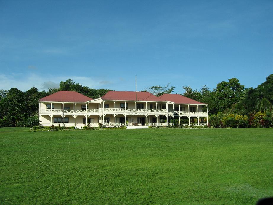
We first went to the home of Robert Louis Stevenson, a Scotsman, who moved to Samoa for health reasons. He built a beautiful estate for his wife, stepson, and his mother. Stevenson died at 44 and is buried on the mountain overlooking his property. Margaret, a Samoan guide, took us through the house and filled us in on the Stevenson family history. Before we left the tour operator provided everyone with their own coconut with a straw to drink the juice. It was very refreshing!
After that we visited the Bahai Shrine. It had very beautiful grounds
We then started a drive that encompassed the entire island’s coastline. The island is very verdant with many types of bushes and trees. The temperature stays the same year round, very warm and humid! There are mountains and the temperature at elevations is noticeably cooler.
Many, if not most, of the Samoans live in houses with no walls! I asked about insects and was told that mosquitoes are the only real pest and only at night. I asked how they sleep under that condition and Brian said they use mosquito netting over their beds. Later we saw this is in one of the homes that we passed.
The countryside has many little villages (Apia is the only city on the island). There many churches, Catholic, Protestant, and Mormon in these small villages. Apparently, the Mormons have made some serious inroads in the community here (as well as in Fiji). The elementary school children often walk 5 or 6 miles to school and back each day. They mostly wear uniforms with colors of same denoting the school they attend. High school is only in Apia so those from outlying villages travel as much as an hour and a half to get to school. School attendance is not mandatory.
On the tour we visited a couple of the waterfalls. The first had very little water flowing down it because this is not the rainy season. The second, Sopoaga Falls, is located at one of the no-walled homes. They had chickens running around eating pieces of coconut. Bertie, the guide on the other van, showed us how to dehusk coconuts. The how to split them to get to the meat and how to get the meat they call cream from the nut. It was very interesting and I made a movie of the process which I will post on YouTube when I return.
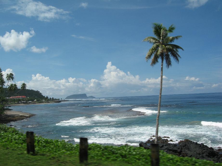
We stopped for a long lunch on the South side of the island at Taufua Beach. Many of us took the opportunity to wade or swim in the crystal clear waters. We were able to sample the local beer Vailima, an excellent brew. The beach was littered with pieces of coral, many different types were found.
The tsunami of September 2009 hit near here, wiping out many homes, rental huts, and trees killing many people. The epicenter of the earthquake was near here so the tsunami warnings only allowed 15 minutes to react. Fortunately it hit at 0700 and the children were already at school. The largest wave was about 20 feet high. Rebuilding goes on.
We had Brian drop us off in the center of Apia and we walked back to the ship.
We would certainly recommend a visit to Samoa. The people are very friendly. The scenery is amazing. The place is very clean. I commented on this to Brian and he told me each village has a mayor who enforces cleanliness. If a place has not been kept up, the owner is fined a pig or 6 chickens! Not money, but barter. Great concept.
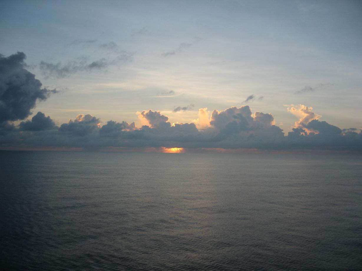
Sunrise in Apia
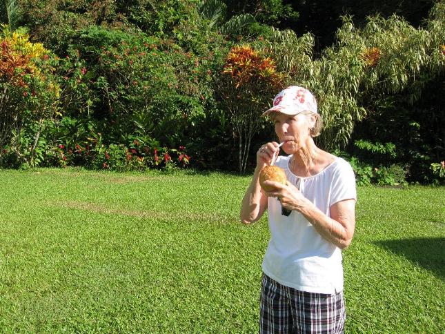
Robert Louis Stevenson’s home Marilyn drinking coconut juice on RLS grounds
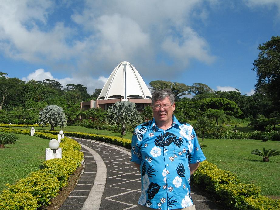
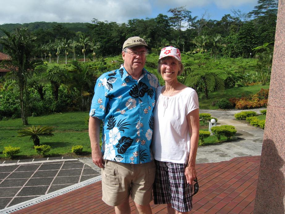
At the Bahai Shrine
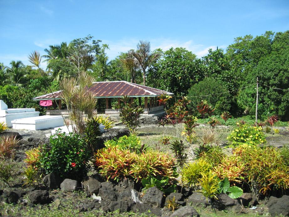
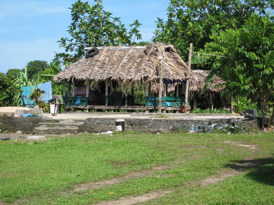
Samoan houses with no walls
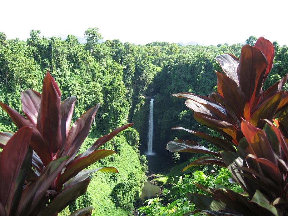
Sopoaga Falls
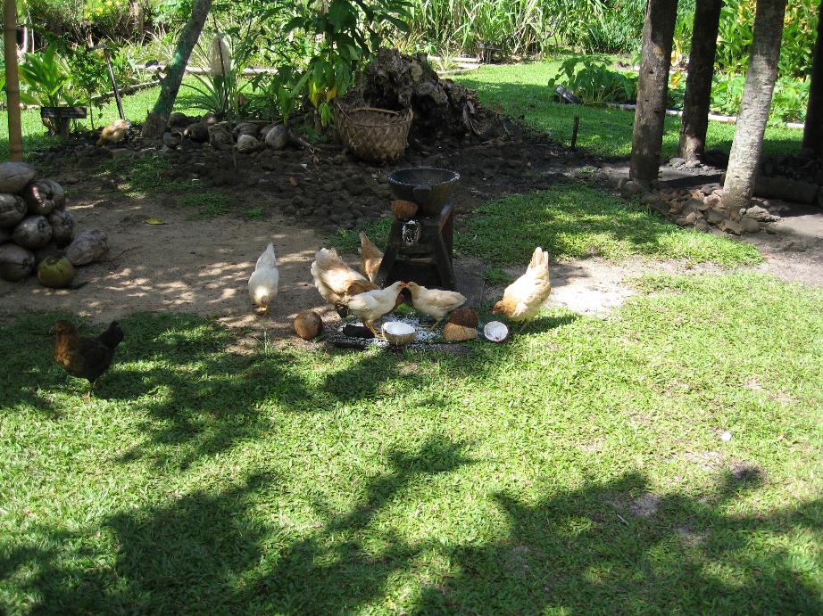
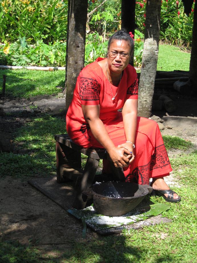
Chickens eating coconuts Bertie making coconut cream
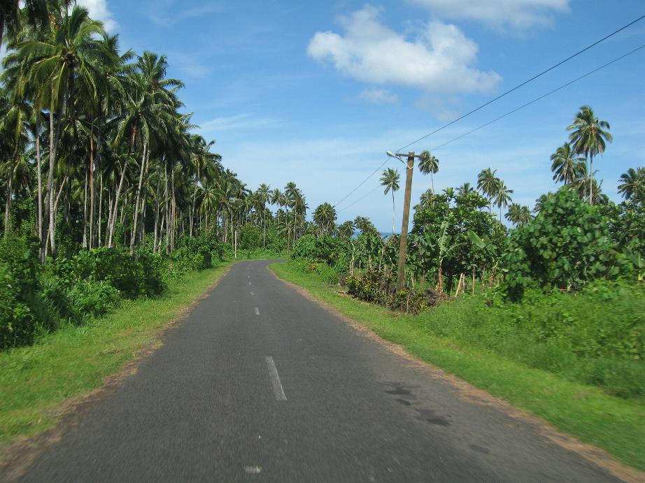
On the road on the south coast
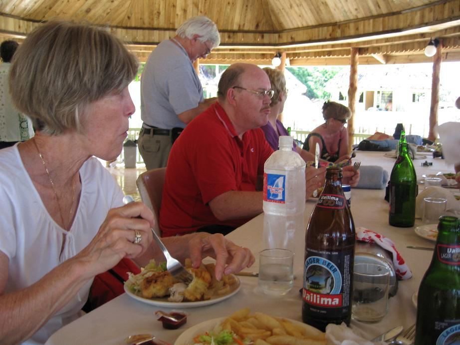
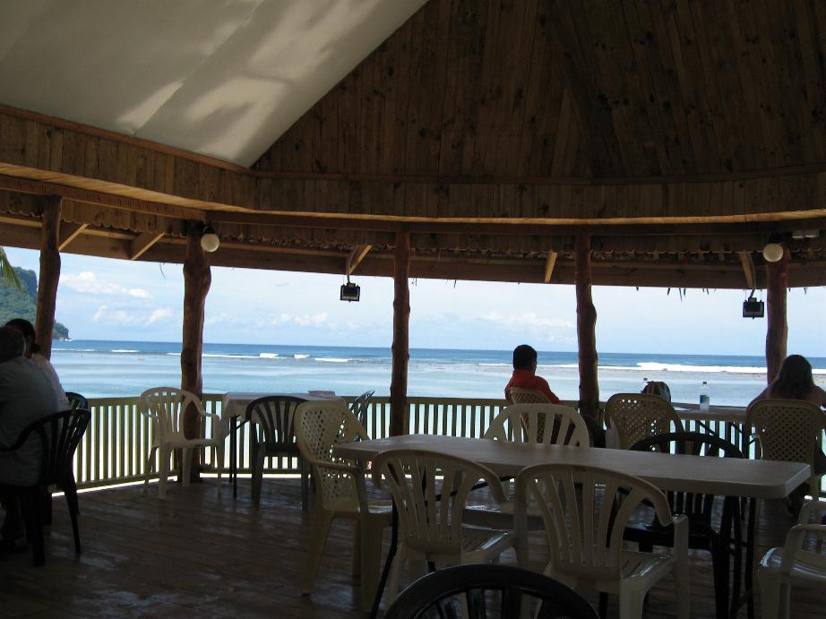
Lunch at Taufua Beach
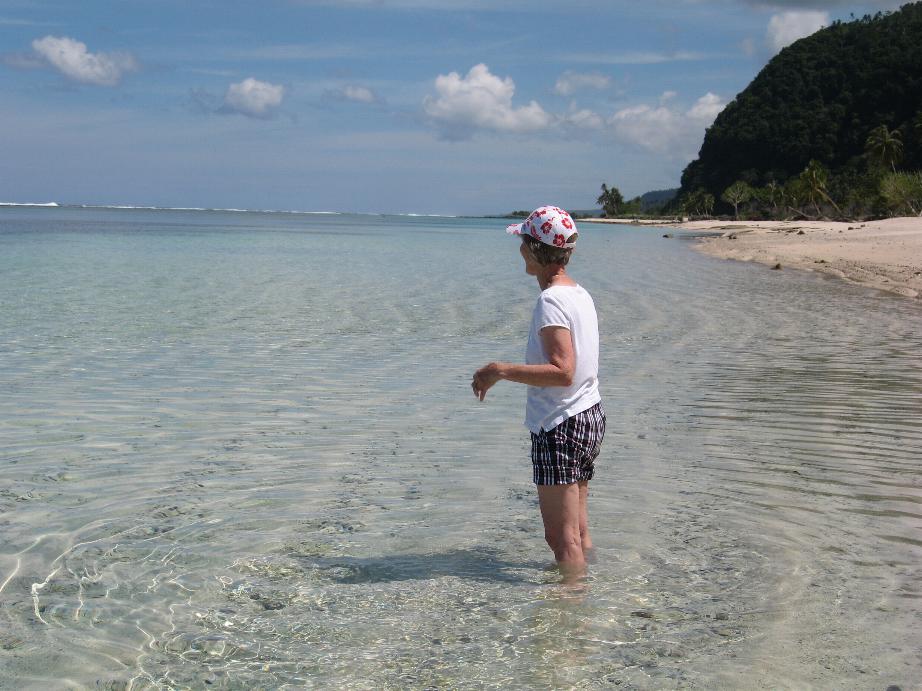
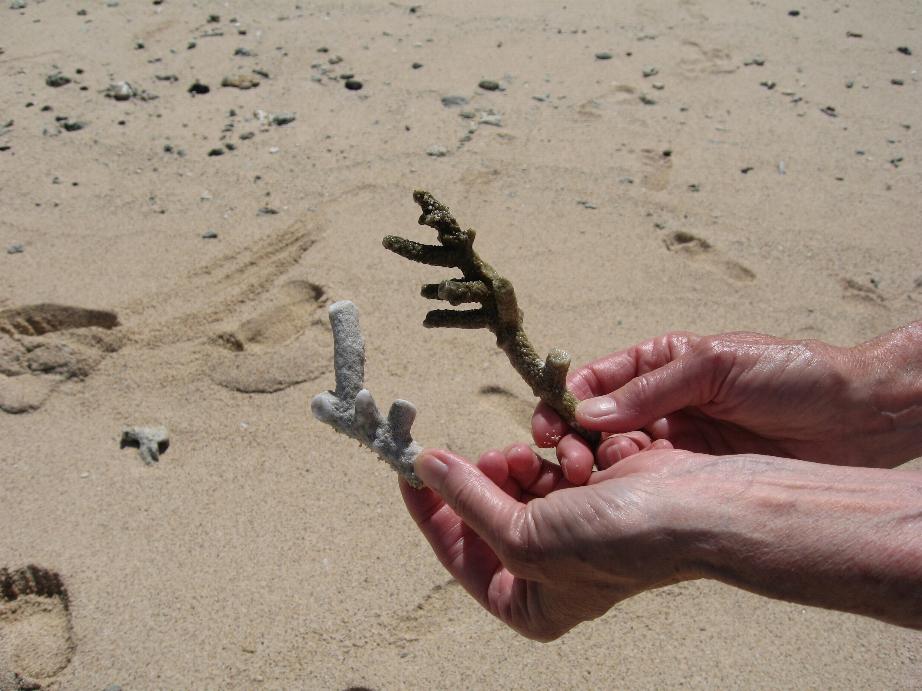
Taufua Beach Coral found on shore
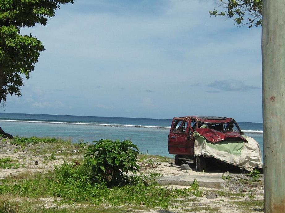
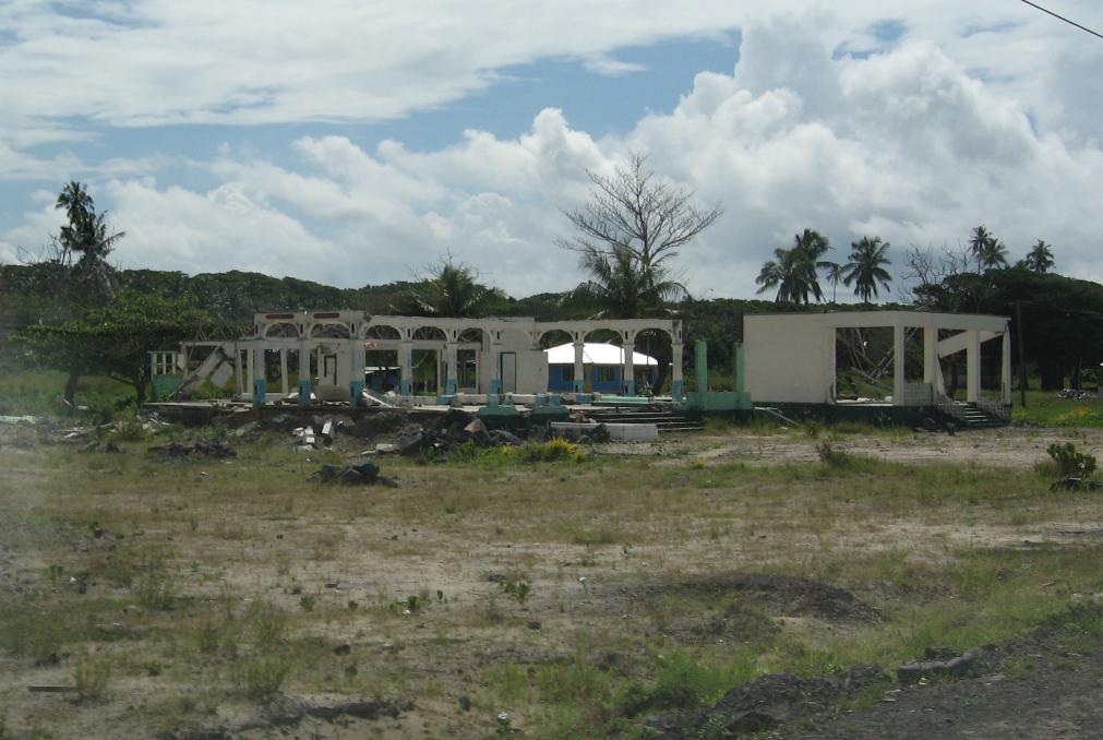
Damage from September 2009 tsunami
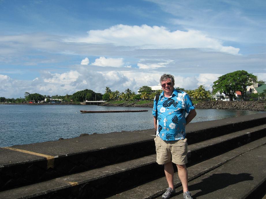
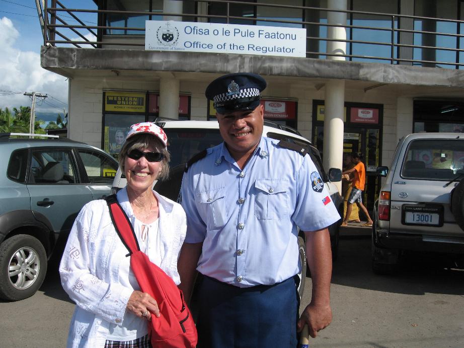
Apia Marilyn with policeman
==============================================================
Crossing
the Equator
We crossed the Equator at 2127 Local Time on 29 April
(Latitude 00° 00’ 00” Longitude 167° 27’ 18”).
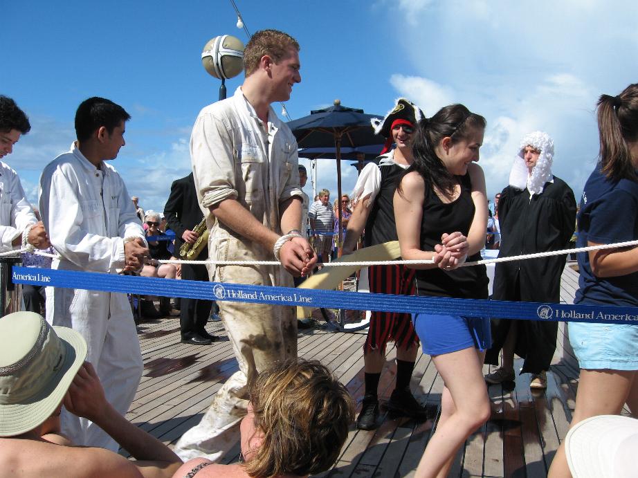
Earlier in the day the ship held a quasi-traditional
ceremony marking the crossing. Historically Navy ships held the traditional one
where one of the Shellbacks ruled as King Neptune. A large obese sailor’s
stomach was covered with grease and the Pollywogs had to “kiss the baby” as
part of the ritual. Then they had
to pass through a tunnel made up of Shellbacks who hefted large pieces of
firehose soaked in sea water to
beat the Pollywogs. The Pollywogs were subjected to other treatment s such as
being dunked into fuel oil and garbage. After this ritual, they joined the Royal
Order and became Shellbacks!
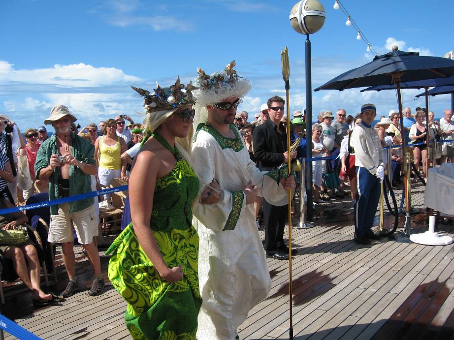
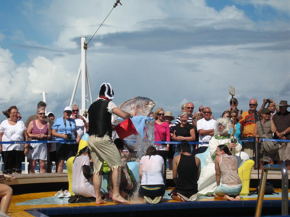
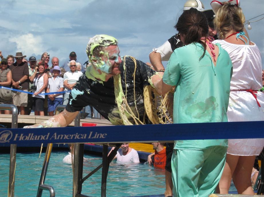
On the ship, the ship’s company who were Pollywogs were tied together and brought forth King Neptune and his Mermaid. There they were charged and water from the pool was poured on them as the knelt. They had a huge fish that the Pollywogs had to kiss or lick (depending on whether they were deck/engineers or administrative staff. After that they were pulled across a table where Shellbacks covered them with whipped cream of various colors, spaghetti, and flour. Then King Neptune asked the crowd whether they should sit in that condition or be dunked in the pool (again the distinction was operating and administrative with the latter being sentenced to sit while to former got to be cleaned.
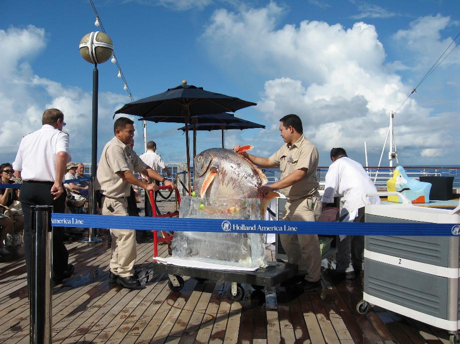
The fish!
==============================================================
Honolulu, Oahu, Hawaii
We were originally scheduled to go to Nawiliwil but the dates were exchanged due to operational considerations.
I first visited Hawaii back in 1958 in my Navy days. We always tied up at Ford Island in Pearl Harbor. We usually went to Honolulu for liberty though on one visit a group of us rented a car and drove around the whole island. Honolulu was much smaller and quieter in those days! There were no large buildings so we usually wandered around Waikiki and then to Hotel St. (where merchant sailors hung out and they were easy on IDs in the bars).
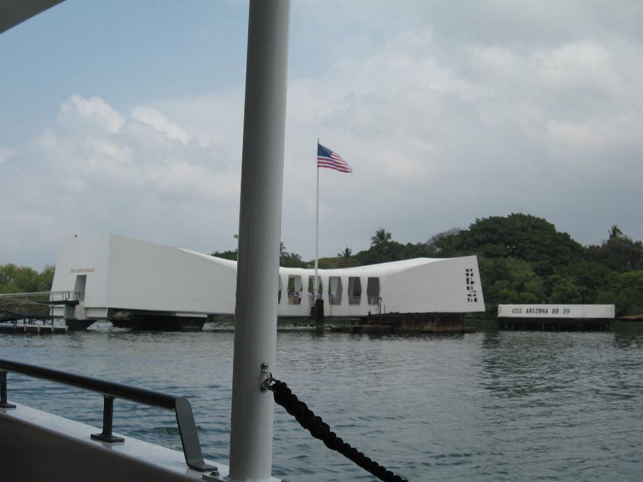
On this visit, we decided to go to Pearl Harbor to see the new Arizona Memorial (the old one in the 50s was much smaller) and the USS Missouri, a battle wagon now there as a museum ship.
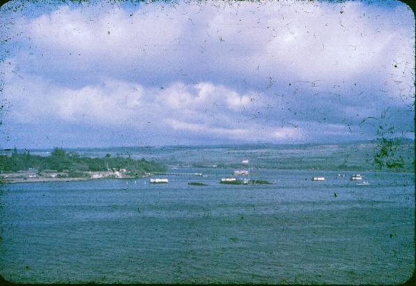
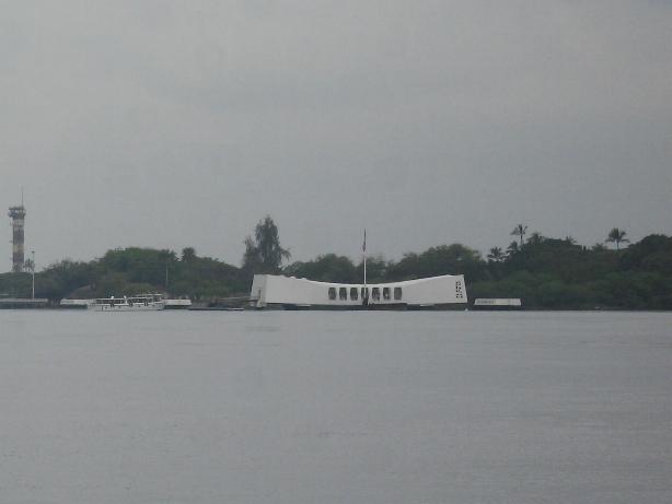
USS Arizona Memorial (1950s at left, 2010 at right)
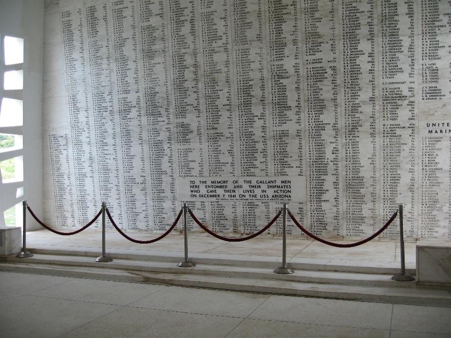
At right, wall listing the Arizona's ship's company
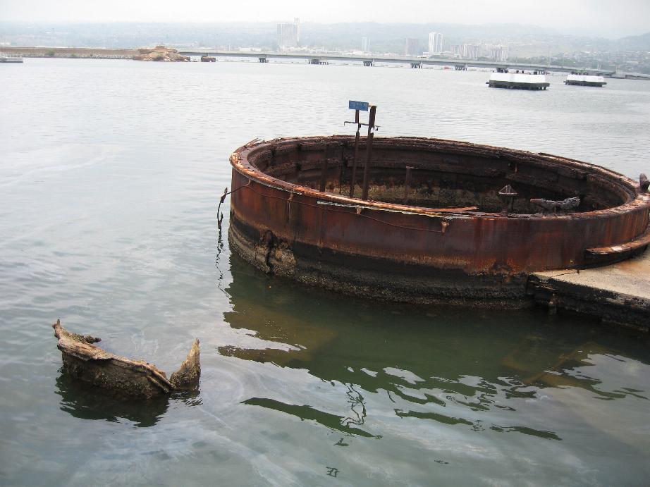
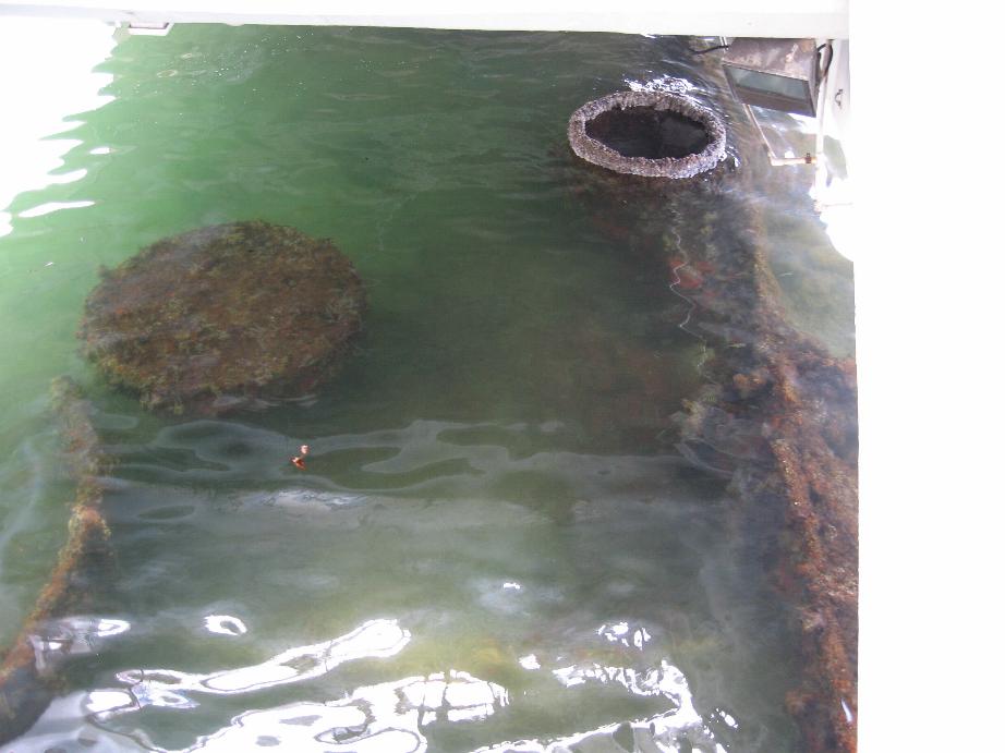
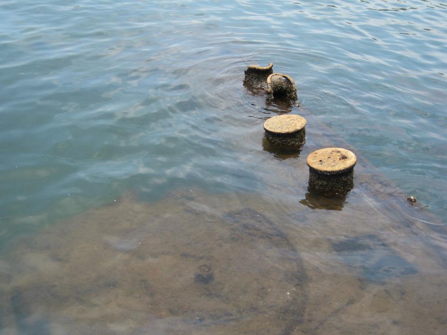
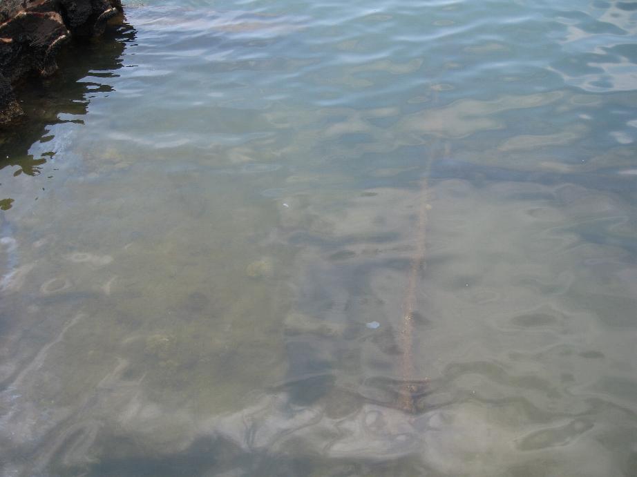
The sunken USS Arizona (note to oil slicks)
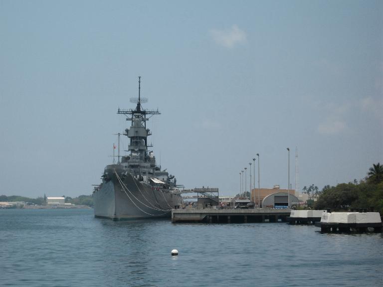
USS Missouri (BB-63)
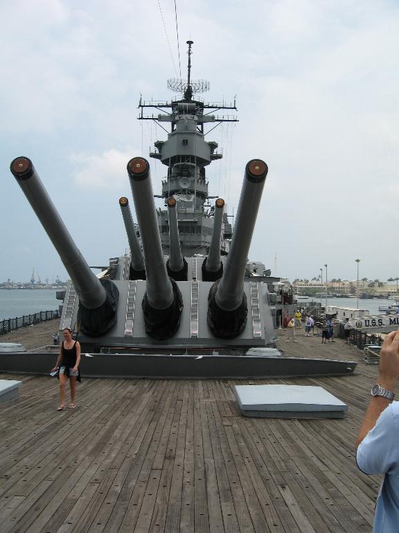
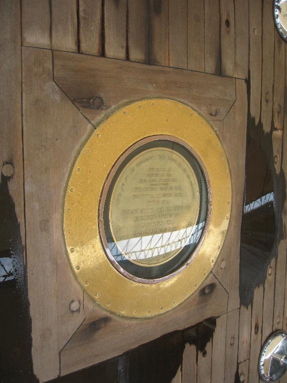
16" Gun Batteries Marker where World War II surrender was signed
==============================================================
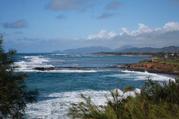
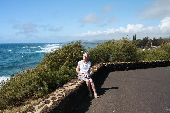
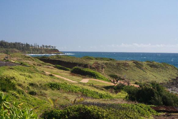
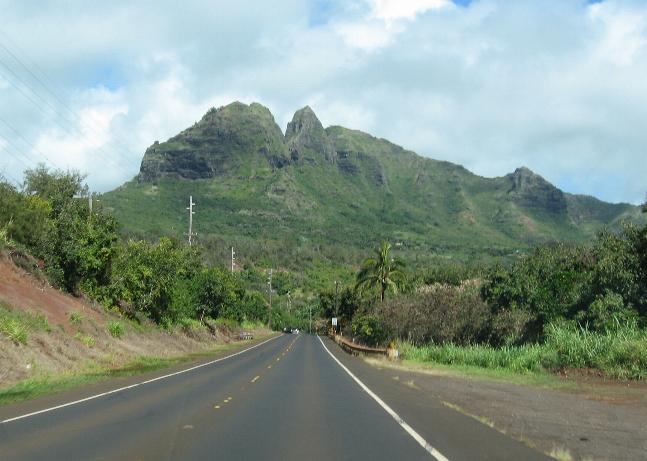
Nawiliwili, Kauai, Hawaii
We pulled into Nawiliwili, a small port near the town of Lihue. We rented a car to see the island. There is a single highway that goes around most of the coastline of the island but it is not complete. Kauai is well known for its Waimea Canyon on the western coast, considered the Grand Canyon of the Pacific. We did not have enough time to do the whole tour so we decided to drive up the east coast to the end of Highway 560.
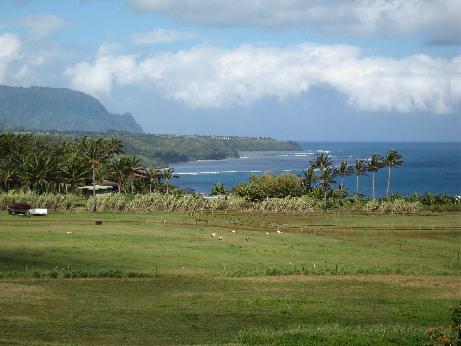
We really enjoyed Kauai. It is very scenic and still has a rural feel to it. There are no large cities, just small towns and villages. The beaches are beautiful. This was our favorite of all the four islands we visited in Hawaii and is the only one that we would return and spend a vacation on.
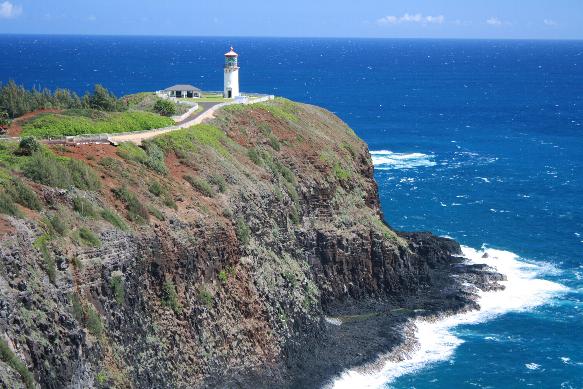
Kilauea Lighthouse and scene from old Japanese Cemetery
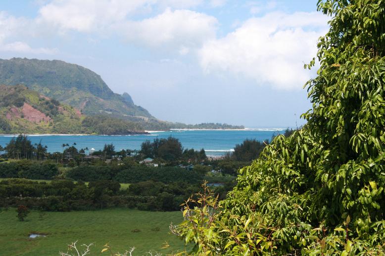
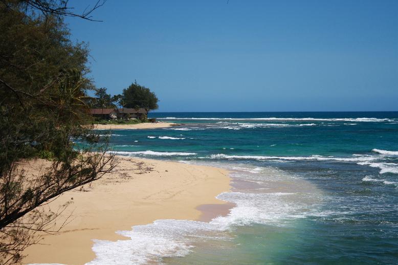
Hanalei Beach
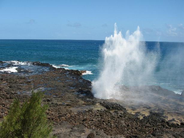
Spouting Horn Rock at Po'ipu Beach (caused by a blowhole where inrushing water is forced upward through the vent)
==============================================================
Lahaina, Maui, Hawaii
Laihaina is a small port on the west coast of Maui. Again we decided to rent a car to see some of the island.
We headed for Haleakala National Park which is the site of Maui's volcano. The weather was cloudy and rainy. The visibility finally started to clear as we proceeded up Highway 375 to the elevation of about 5000 ft. We drove to the summit at 10,023 ft. where we had a great panorama of the area with the tops of the clouds far below.
That evening we attended a luau at the Hyatt Regency at Laihaina. As you entered they put a shell necklace on each person and gave them a MaiTai. They had a buffet dinner of Hawaiian favorites. And they had an open bar. There was a good show featuring songs and dances of Hawaii, Samoa, Tahiti, New Zealand, and other islands in Polynesia. They had a hula demonstration where they young ladies really entertained the male members of the audience with their derriere motions. The emcee reminded me of Wayne Newton!
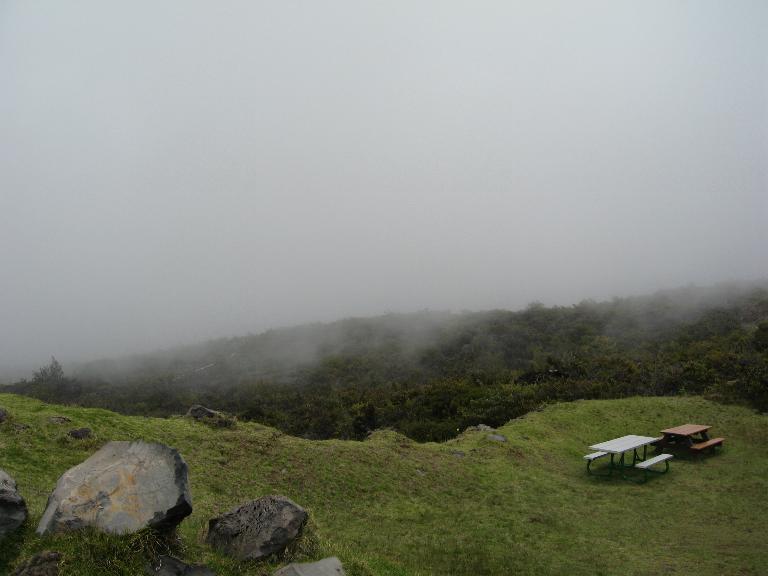
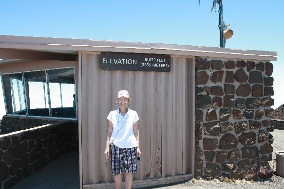

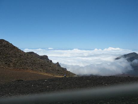
Haleakala
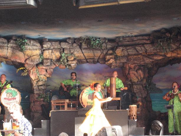
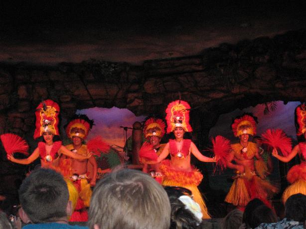
Luau
==============================================================
Hilo, Hawaii, Hawaii
Our last port was Hilo on the big island of Hawaii. This island is the youngest island in the Hawaiian chain and is still volcanically active. We rented a car to visit Volcanoes National Park.
One of the people at the car rental firm told us that Highway 130 had been closed due to recent lava flows. We drove up there but the area was only open for viewing from 1400 to 2200. Since we had to back aboard by 1530, the official viewing was not possible. I walked as far in as I could to see the area. Apparently some villages were wiped out as well. One fellow told us that he owned a piece of property up there that had been overrun with lava. He was sad but on the other hand pleased that the local tax authority had reduced his annual property tax to $25!
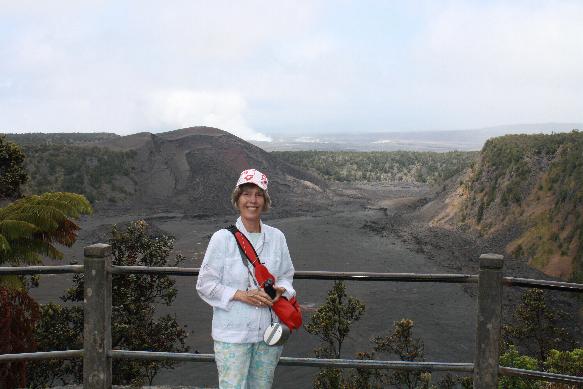
Volcanoes National Park has had a lot of seismic activity over the last several years. We passed many hotspots where steam vents were spewing. The weather again was lousy, chilly and rainy. It was difficult to see the craters and steam due to to the weather. It started to clear later in the day when we drove Crater Rd.
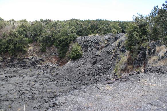
We stopped at Kilaeua Iki, an exceptionally graphic demonstration of volcanic activity. The last eruption was in 1959 and lasted 39 days. Reports are that the view was spectacular. The bottom of the crater is covered with a dry pool of black lava.
Next stop was at the Thurston Lava Tube, a natural formation that is partly open for folks to walk through. The area is located in a rain forest.
Our last stop was at the end of a single lane paved road that ran out to Hilina Pali, an overlook. The road was about 30 miles long and went through many different types of terrain. Fields of black lava, the brown lava fields, and scrub brush. At the Pali, one has a good view of the coast 1500 ft. below.
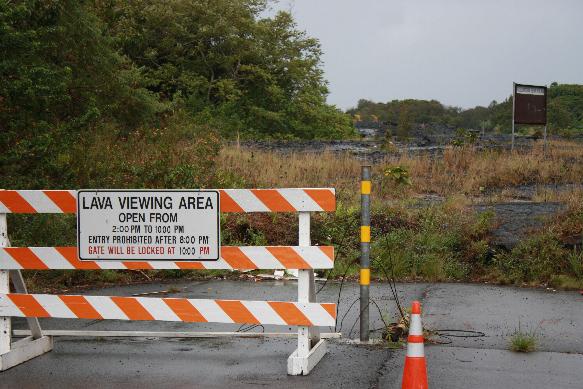
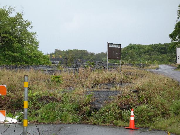
Highway 130 closure point (black lava fields have taken out the original road)
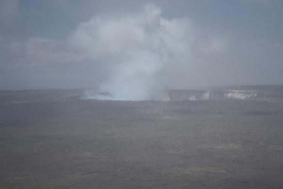
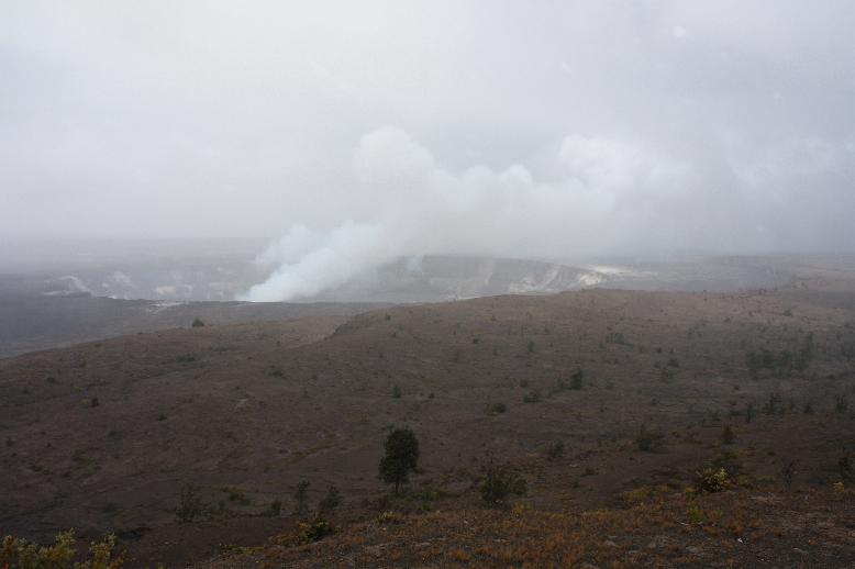
Kilauae Caldera
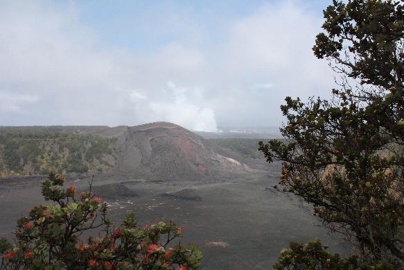
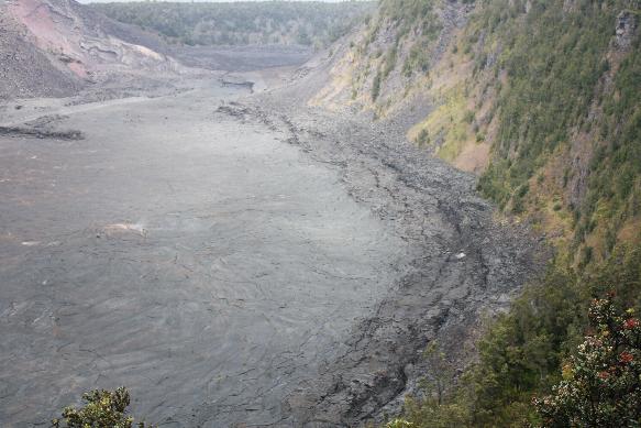
Kilauae Iki, the last major eruption was in 1959 (the crater has about a 100 ft. of hardened lava on top of liquid lava). Steam still escapes from the lava
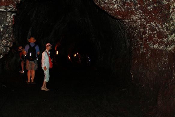
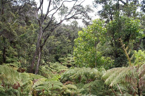
Thurston Lava Tube (at right is the above ground fauna)
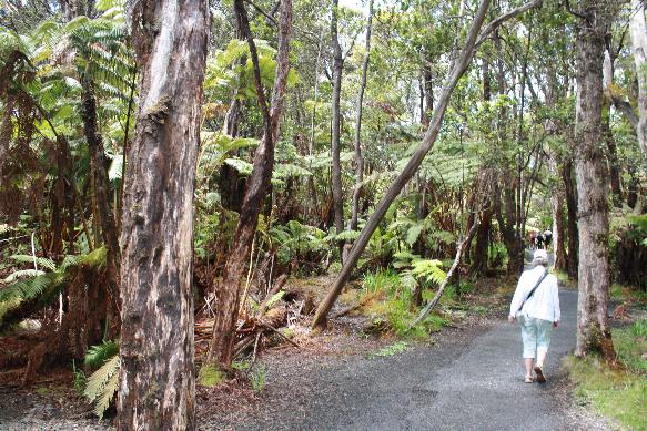
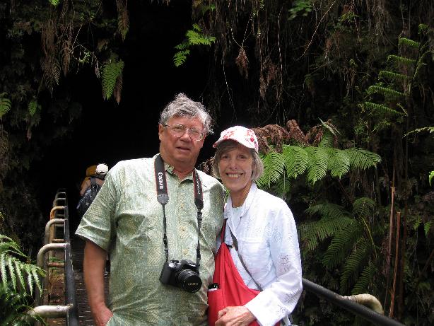
Thurston Lava Tube
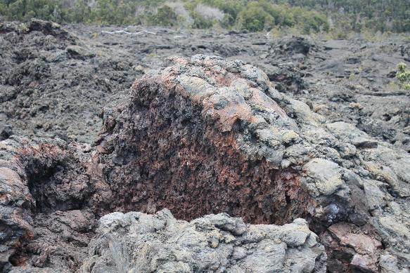
Lua Manu Lava Fields
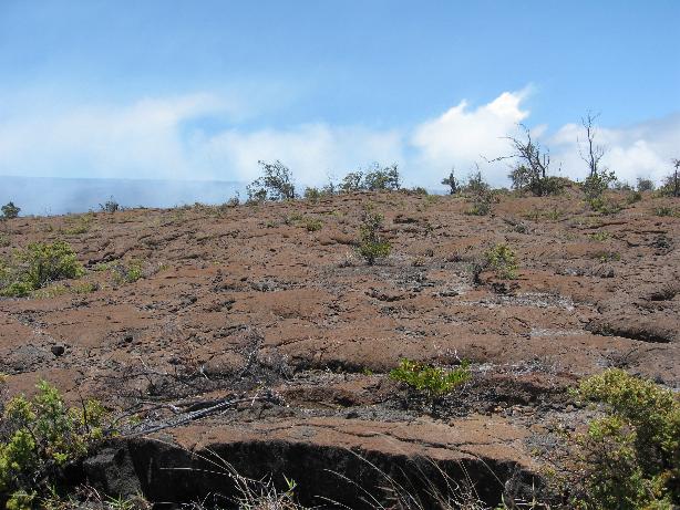
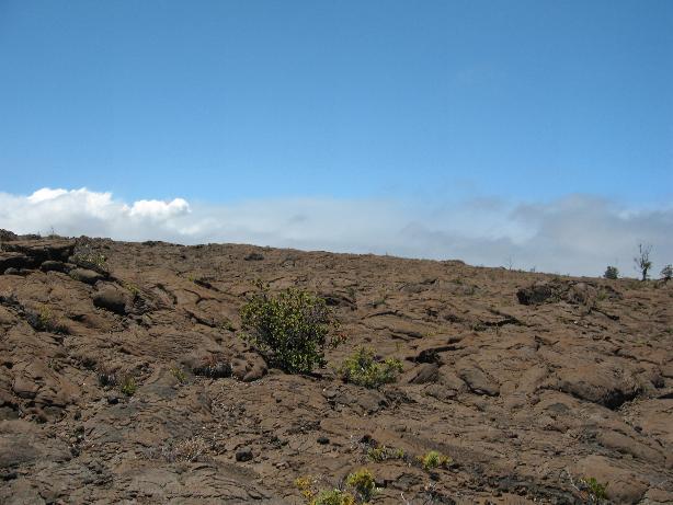
On the road to Hilina Pali
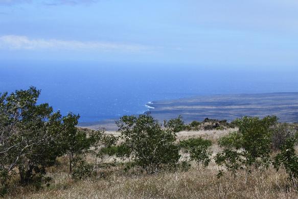
View from Hilina Pali
==============================================================
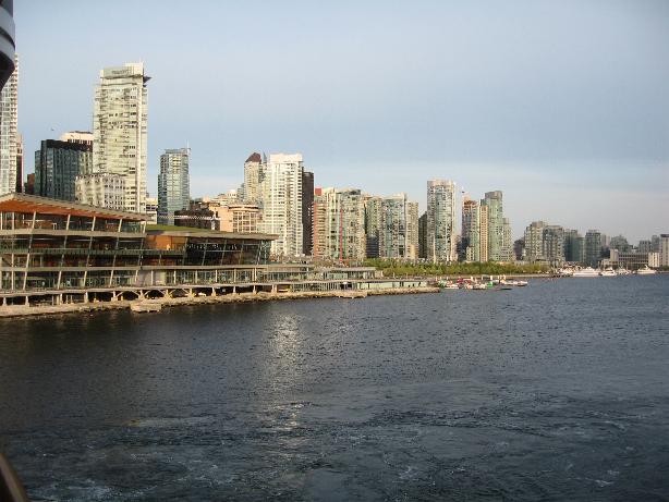
Vancouver, British Columbia, Canada
Our cruise concluded in Vancouver. We were ready to go home and went directly to the airport to return to our home.